See exactly which slopes, watersheds, and structures are at risk – today or in the next storm.
Optimize Field ops
Deploy inspection and maintenance crews only where needed, based on intelligent alert thresholds.
Justify decisions
Validate action and spend with high-confidence, asset-specific alerts backed by regulatory-aligned science.
Improve compliance
Meet PHMSA expectations for monitoring, analysis, and documentation of natural force threats.
True Positive Rate
%
Teren landslide library (10,000+)
True Positive Rate
%
USGS landslide library (13,000+)
True Positive Rate
%
in annual repair budgets
Proven Accuracy
Terevue’s models are continuously validated and refined using real-world data
Know When Weather Turns Into Risk With Intelligent Alerting
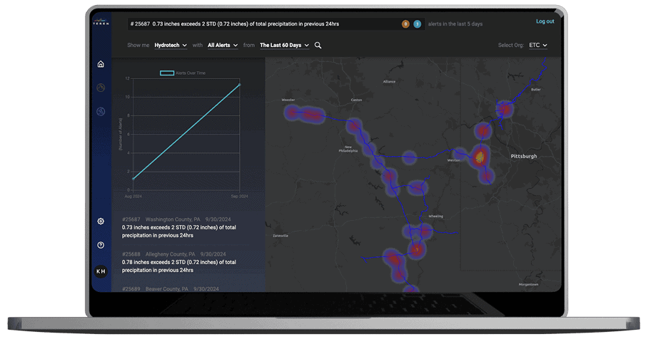
Terevue delivers real-time, asset-specific alerts when precipitation reaches thresholds known to trigger environmental threats. This helps you pinpoint risk with precision, optimize field response, stay compliant with PHMSA expectations, and justify every inspection with data-backed urgency.
Focus on What Matters With Geotechnical Risk Modeling
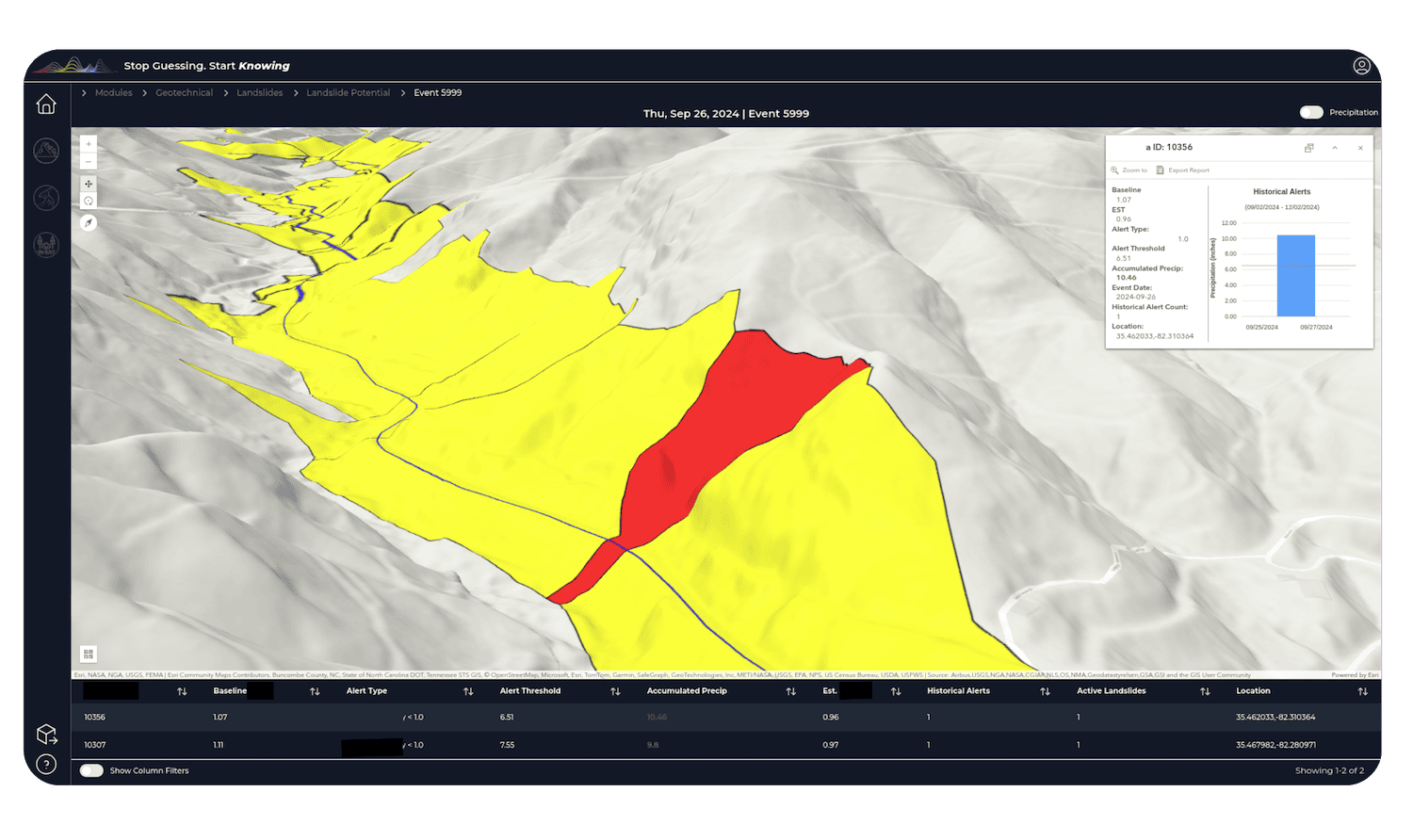
By combining terrain, soil, and storm data into risk scoring and segmented hillslope units, Terevue identifies exactly where natural forces threaten your pipeline. This allows you to target field ops, preempt failures, meet risk management criteria, and document decision-making clearly.
Visualize Threats and Defend Decisions With Reporting Tools
Terevue’s 3D viewers, hillshade layers, and exportable reports (KMZ, CSV, XLSX, PDF) make it easy to communicate risks visually, coordinate teams, prepare compliance-ready documentation, and defend budget allocation with confidence.
Prove Performance Over Time With Continuous Monitoring
With historical lookbacks to 2020 and daily updates, Terevue tracks how risks are evolving. This equips you to spot emerging patterns, validate your actions, support audits and reviews, and maintain long-term integrity strategies.