High-Fidelity Analytics for Targeted Threat Management
Terevue Premium delivers engineering-grade precision to identify, rank, and monitor discrete threats along your right-of-way. By combining high-resolution LiDAR, satellite imagery, and IoT inputs, Premium gives you the clarity to prioritize action, optimize resources, and defend your decisions—whether you’re ensuring compliance, managing data, or directing field operations.
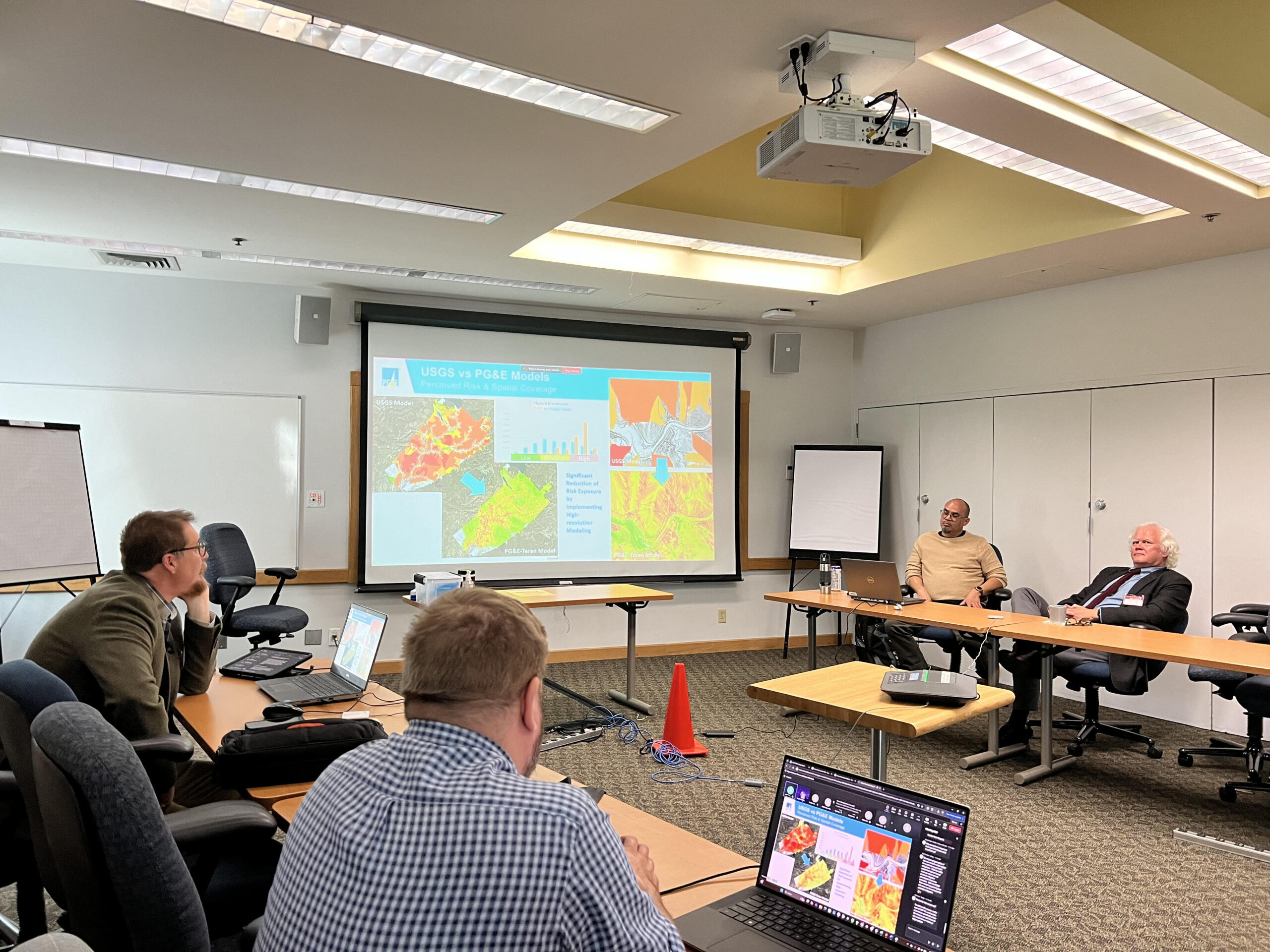
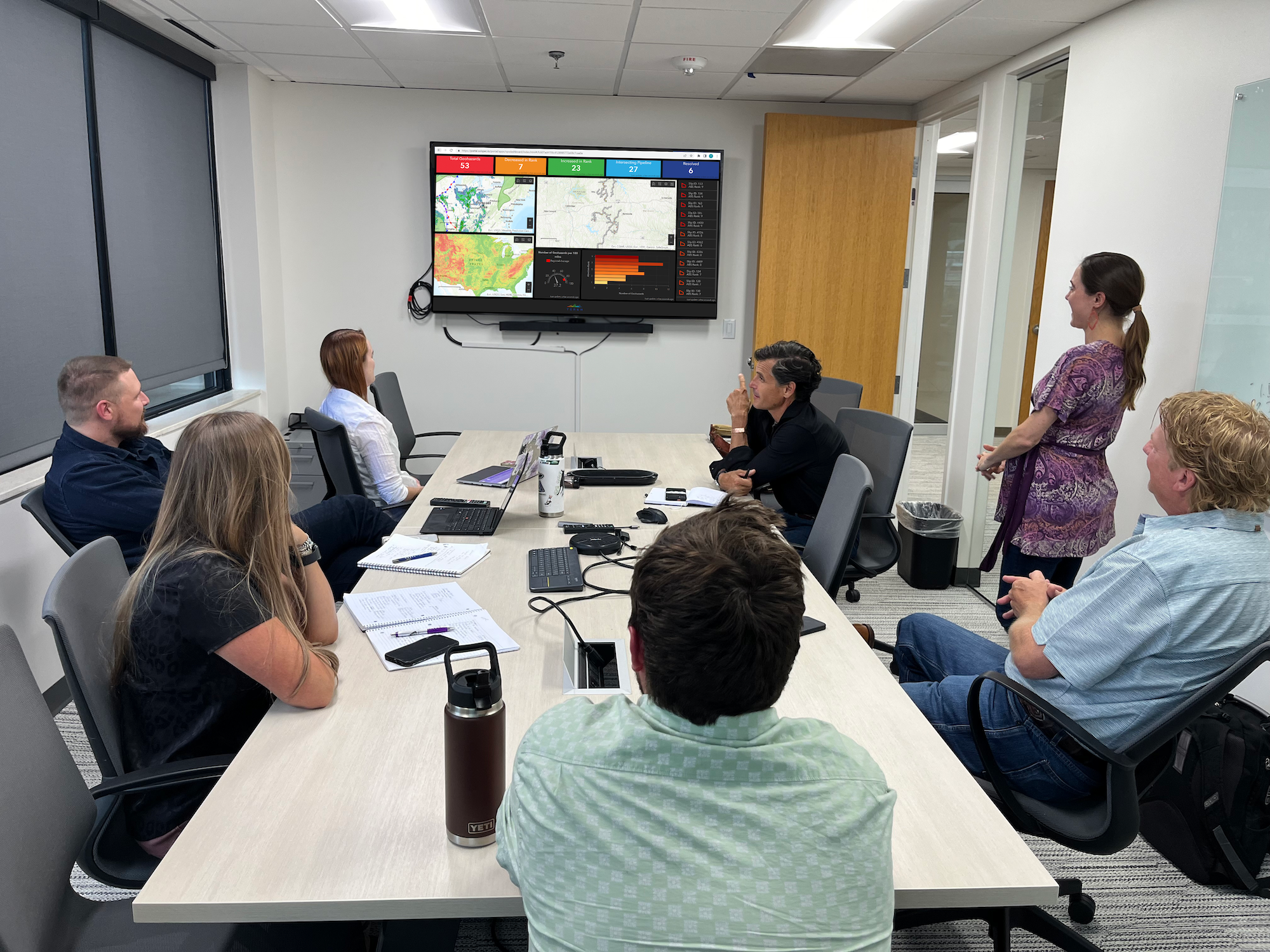
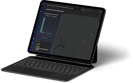
Premium’s advanced analytics reveal exactly where your highest-risk locations are and how they’re changing over time. Every hazard is ranked on a percentile scale (0–100), giving you a defensible, comparable measure of severity to support compliance, inspection planning, and capital allocation.
Recurring ingestion of LiDAR, satellite, and IoT datasets ensures your risk picture is always up to date. Outputs are GIS-ready for seamless integration into ESRI, KML, and other enterprise mapping systems—so your team can work from the same, most current intelligence without data wrangling delays.
Premium’s change detection capabilities compare sequential LiDAR datasets to capture subtle shifts in terrain, hydrology, or vegetation that signal emerging risks. By detecting threats early, you can target inspections, reduce unnecessary interventions, and avoid costly emergency repairs.
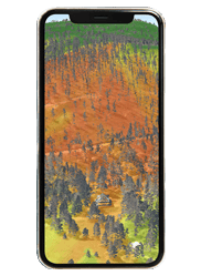
Analyses that quantify primary stand structure indices, wood volume, mass, and foliage 3D structure. Assess forest health, composition, stand age, and change through time at multiple resolutions.
With weather-aware intelligence, machine learning and system-wide monitoring, Terevue Predict helps you act early, reduce over-inspection, and direct resources where they’re needed most.