Speed, quality and accuracy don’t have to be oxymorons.
For site engineers and surveyors, pre-construction survey work comes with the constant tug-of-war between speed and quality.
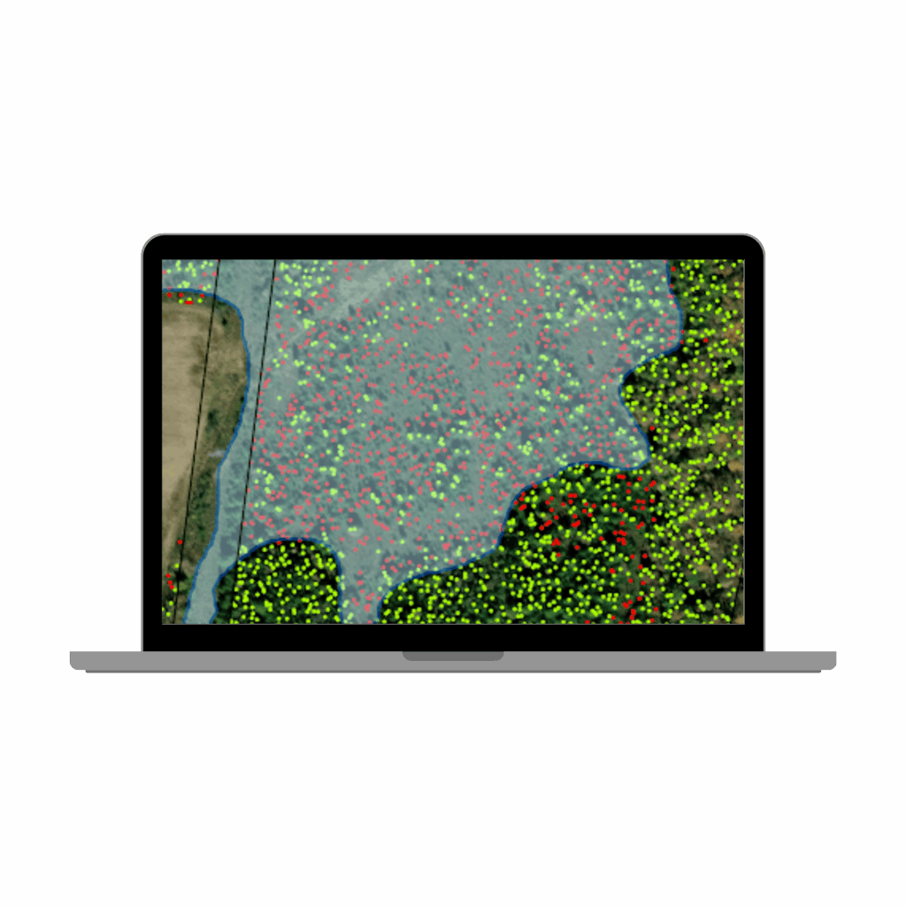
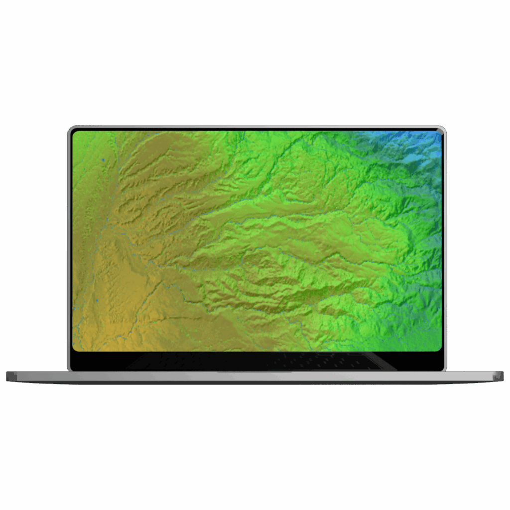
Get accurate topography data in hours, not days.
Goodbye competition.
Teren’s suite of actionable survey data products provides LiDAR data acquisition, processing and analysis to better estimate construction costs and material needs — at speed that keeps you on schedule.
saved in infrastructure and labor costs on a single project site
- Trusted By -
The speed and scale Teren Delivers data directly impacts the success of construction projects.
They found 12 slips that we weren’t able to find on our foot patrols. We had one of the rainiest seasons o
record, and we didn’t incur any shut ins. So really, by switching from reactive to a proactive mode, we w
able to reduce our repair budget almost 90%. So just the avoidance of one major geohazard, we were ab
to effective fund our entire maintenance program.
We get consistency — factual, unbiased data. We take out the margin of error when compared with boo
on the ground and people’s opinions. We reduce our carbon footprint by not putting vehicles on the roa
There’s also a safety advantage.
Want to see Teren’s data product suite in action? Read these stories..
The Problem
The Solution
You can have your pipeline and protect monarchs too.
After acquiring land with wily vegetation, one pipeline operator leveraged Teren analytics to protect endangered species and its ROW….