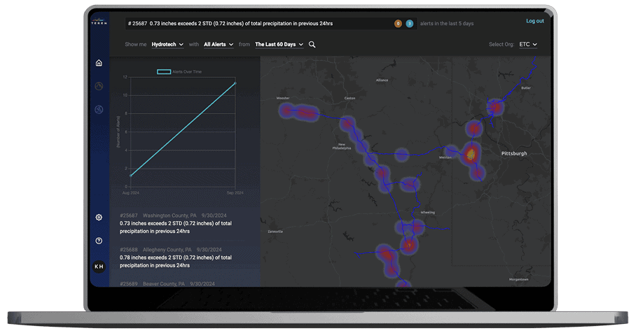
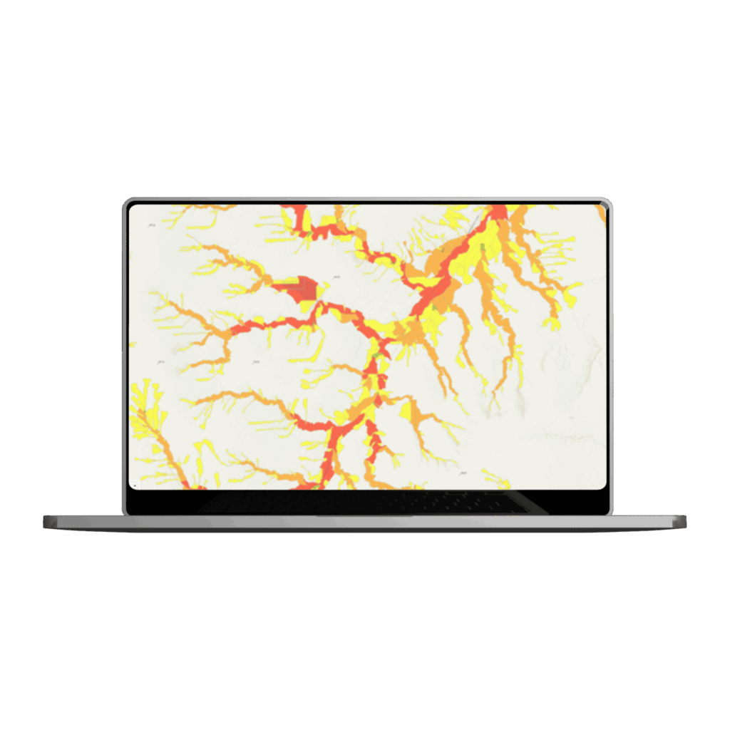
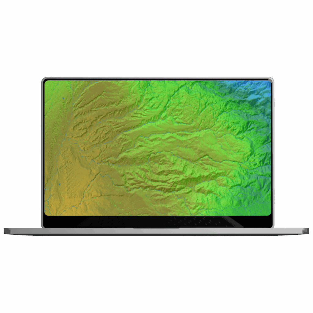
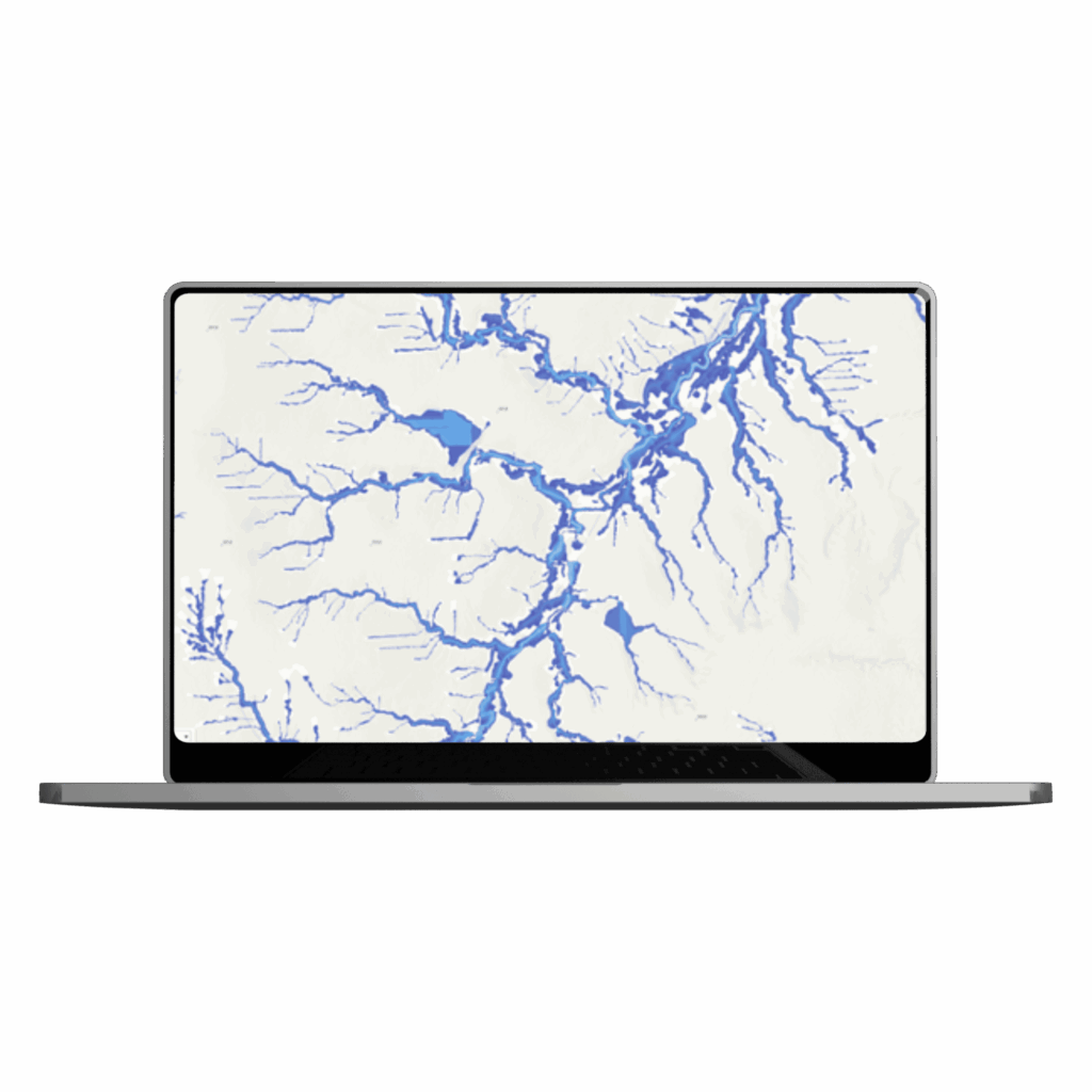
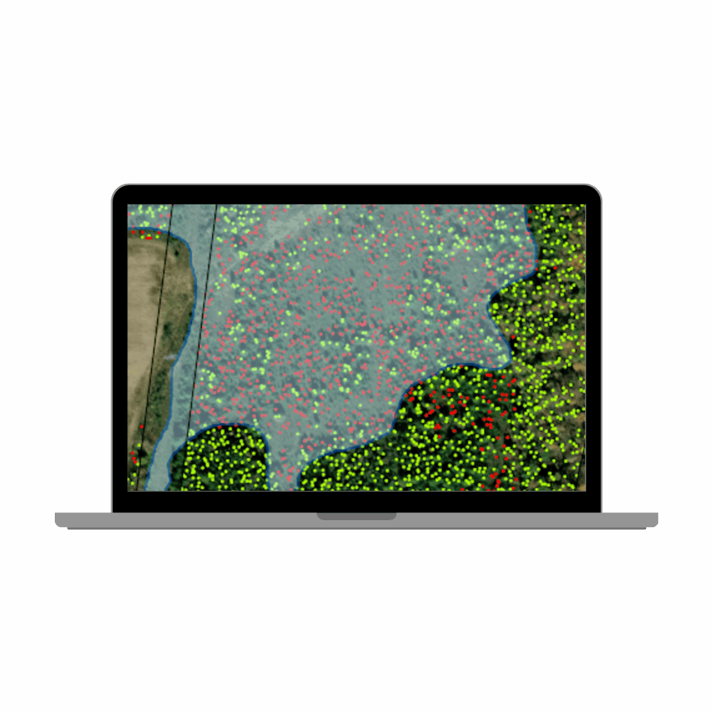
Teren’s Platform combines Terescale processing and predictive analytics to derive environmental intelligence at speed and scale from LiDAR data harmonized with other remotely sensed datasets. By harnessing powerful cloud processing, large-scale deep learning, and remotely-sensed data, we deliver high-fidelity, actionable intelligence for anticipating, measuring, and improving the outcomes of human-environment interactions.
-Terevue Suites-
Comprehensive environmental threat analysis across US at 100-m resolution, including landslide, flooding, scour, erosion, and wildfire areas
Pricing:
25,000 dollar anual subscription
Customer Persona:
Risk, Damage Prevention, Emergency Response, Integrity (e.g., ET, FHR, Nisource)
Continuous monitoring, prioritization, and threshold-based alerting of weather-induced environmental threats
Pricing:
$40,000 base subscription per region (includes 1 threat module). Add-on modules available at $20,000 each