Terevue Profile delivers foundational insight into natural hazard threats along your pipeline right-of-way—so you can quickly assess, prioritize, and act.
This baseline package includes pre-modeled, linear-referenced hazard analytics across a full spectrum of geotechnical and hydrotechnical risks.
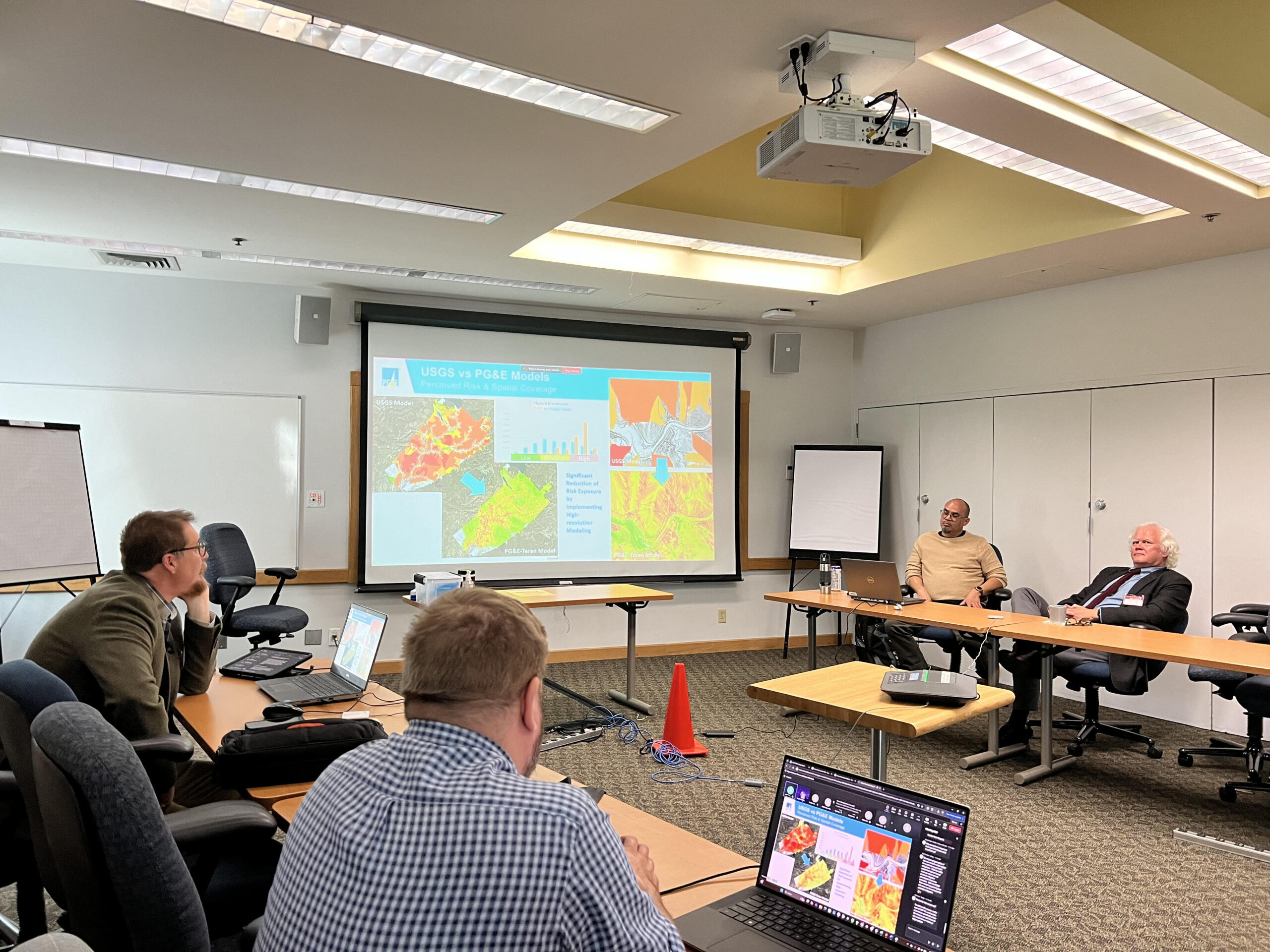
Terevue Profile summarizes threat exposure using national-scale models tailored to your asset footprint. Each threat is ranked using a percentile scale (0–100), identifying where your pipeline intersects with the most severe conditions.
Included threat models:
Landslide – Risk based on terrain, soil, and hydrologic energy
Terevue Profile includes two standardized views to contextualize risk:
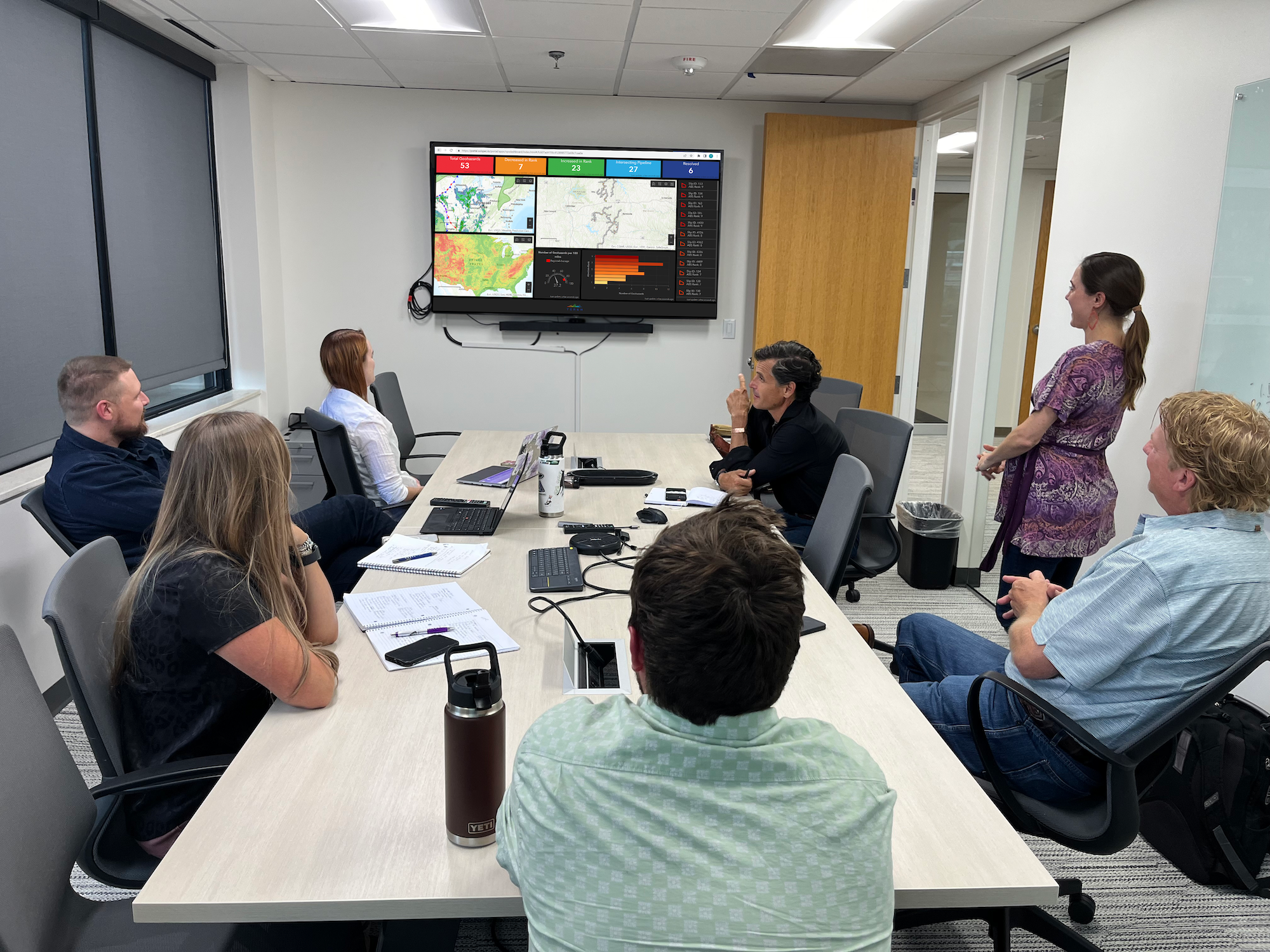
Linear Referenced Threats Map the precise begin and end points where your pipeline intersects each significant threat, enabling location-specific asset planning.
Top Quintile Threat Zones Identify the highest-risk zones—top 20% nationally—within a mile of your pipeline for fast triage and prioritization.
With weather-aware intelligence, machine learning and system-wide monitoring, Terevue Predict helps you act early, reduce over-inspection, and direct resources where they’re needed most.