Teren at the Society of American Foresters National Convention: Empowering Conservation with Geospatial Intelligence
We’re excited to announce that Teren will be attending this year’s Society of American Foresters (SAF) National Convention, taking place in Loveland, CO from September 17-20, 2024. As leaders in geospatial data innovation, we’re eager to connect with land and water resource managers, emergency watershed protection coordinators, and others dedicated to stewarding natural resources. Visit […]
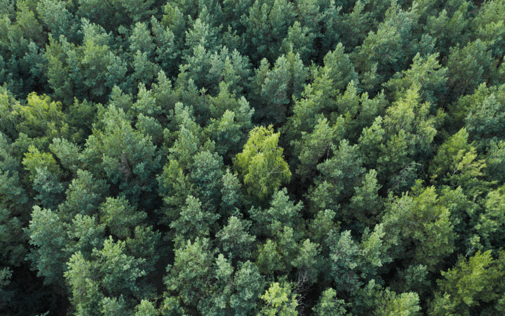
Slope Stability Explained, and It’s Relationship with Landslides
Have you ever wondered what makes a grassy hillside stay put instead of sliding down into a big Dali-like pile at the bottom? This primer explains the fundamental dynamics of how vegetation, soil moisture, and infrastructure interact to influence the stability of sloped terrain. Careful land management is crucial for slope safety and preventing landslides. […]
These are the top 7 analytics you should be tracking to protect your utilities against the environment

Evolving Environmental Threats Require Advanced Analytics. As environmental factors increasingly impact utility infrastructure, integrating advanced environmental analytics into utility providers’ safety strategies is paramount. Here’s a look at the top environmental intelligence analytics that can significantly enhance safety management for utilities. 1. Wildfire Risk Analytics Wildfires pose a significant threat to utility infrastructure, particularly in […]
Elevating the Traditional Topographic Wetness Index with Teren’s Climate-Enhanced TWI

What is TWI? The Topographic Wetness Index (TWI) has long been a staple in modeling terrain moisture and watershed conditions. Widely accepted and frequently used, TWI serves as a crucial tool for ongoing land management decisions and actions. However, despite its utility, traditional TWI has significant limitations. Limitations of Traditional TWI While TWI is a […]
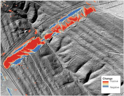
More than Vegetation Management: How One Pipeline Transmission Operator is Leveraging LiDAR to Protect Endangered Species

A case study to identify and prioritize areas for vegetation management and areas to be preserved for the endangered Monarch butterfly.
Top 4 Analytics for Renewable Developers
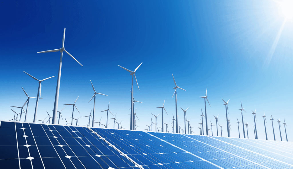
Renewable developers are in a hard space. On the one hand, they are in a race to get leasehold agreements in place, submit interconnect applications, and break ground to keep investors happy. On the other hand, they have a lot of due diligence to conduct before they invest too much. It can be devastating to […]
Top 6 External Threat Analytics to Keep Your Pipeline Safe

Traditional pipeline safety and integrity management programs focus on the pipeline itself, yet a pipeline’s stability also depends on Right-of-Way (RoW) health and the surrounding environment. After years of working with clients in Appalachia, a region that grapples with geological threats such as landslides, Teren has identified the top six external threat analytics that help pipeline operators […]