TEREVUE CORE

Products & Solutions
Powered by the Teren Engine.


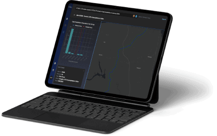
Meet Terevue Core.
Teren’s powerful new environmental intelligence platform that helps you stay ahead of risk by pinpointing and prioritizing threats to your infrastructure, assets, and resources.
Terevue Premium Data Suites