Fundamentals of Geospatial Data Science (for the Non-scientist)

The article lays out the basics of geospatial data for the non-scientist.
From Fire to Future: Using Spatial Analysis Tools for Wildfire Recovery in New Mexico

Wildfires: Balancing Prevention with Post-Fire Response With the ever-expanding 2024 wildfire season is off to a slow but steady start across North America, wildfires have become not a question of if, but when they will occur. While efforts to prepare for and prevent wildfires are important, efforts around rebuilding after a wildfire occurs are often […]
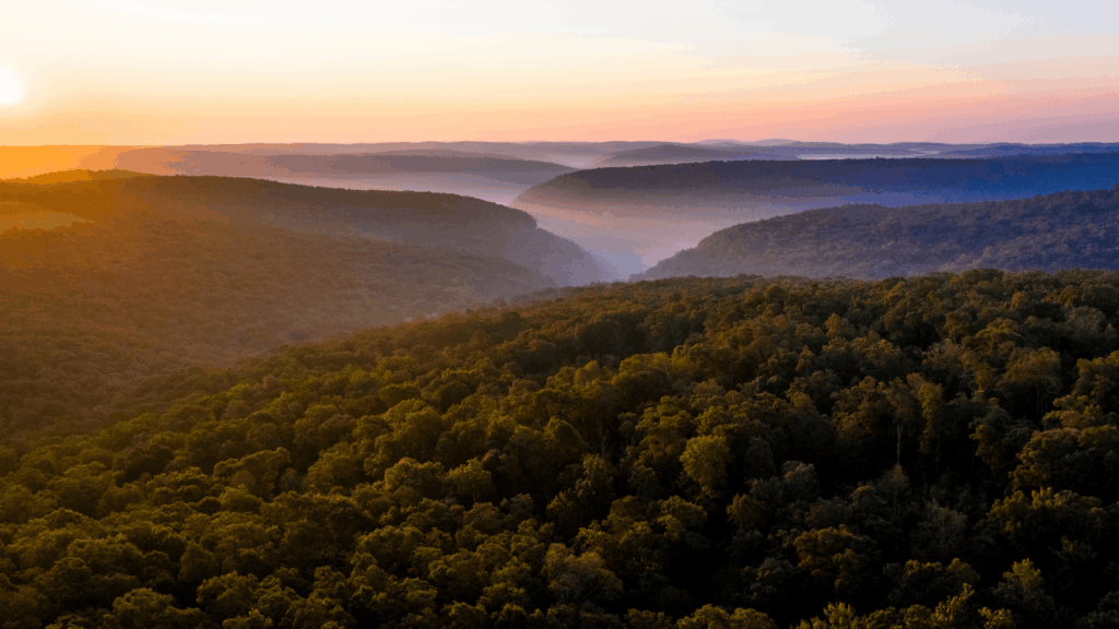
Revolutionizing Post-Wildfire Recovery: A Case Study on Hermits Peak Watershed Management Project

Read Teren’s case study on the Hermits Peak watershed management project completed in collaboration with the USDA.
5 Hidden Costs of Bad Data in Renewable Development
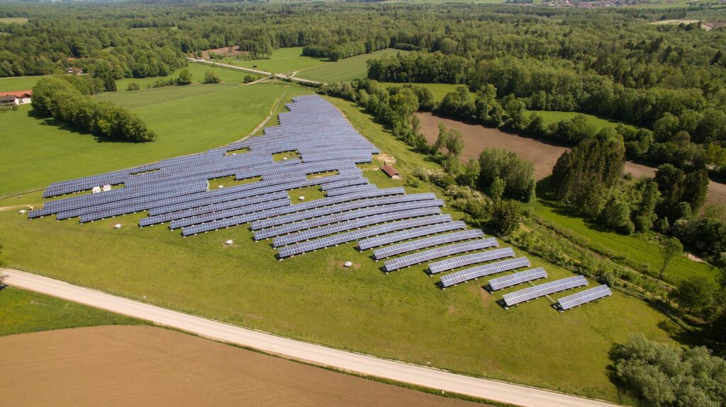
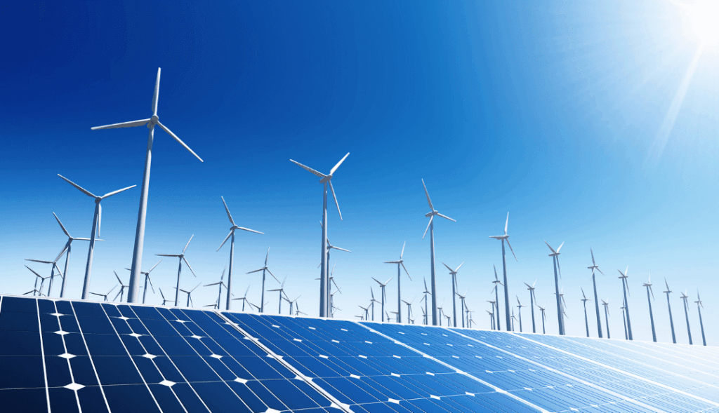
From estimating earthworks to designing array layouts, LiDAR plays a crucial role in determining the viability and success of solar energy projects.
Sign Up for Spring: Top FAQ’s About Teren’s Content Regions

Teren’s Spring 2023 Appalachia LiDAR collection is starting soon. Sign up today to get critical LiDAR data and analytics before summer break.
Teren Expands Content Region Footprint to Include Oklahoma and Arkansas Data
Teren, the climate resilience data and analytics company, today announced it has expanded its analytics offerings to multiple new energy clients in its newly established content region of Oklahoma and Arkansas.
Don’t Be Left Out In the Cold: Teren Prepares for Fall Appalachia LiDAR Collection
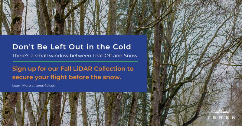
Teren’s Fall 2022 Appalachia LiDAR collection is the best and fastest way to get high-fidelity data and analytics to protect your assets.
Teren Kicks Off Nationwide LiDAR Content Library Program
Companies now have access to Teren data for operational assets and development projects across the U.S. DENVER, July 12, 2022 — Teren, the climate resilience analytics company, today announced its expanded Premium 4D Content program for regions across the United States, including the Gulf Coast, Midwest, Rocky Mountains, and West Coast. Teren acquires and processes high-fidelity LiDAR data 10-100x faster […]
Top 4 Analytics for Renewable Developers
Renewable developers are in a hard space. On the one hand, they are in a race to get leasehold agreements in place, submit interconnect applications, and break ground to keep investors happy. On the other hand, they have a lot of due diligence to conduct before they invest too much. It can be devastating to […]
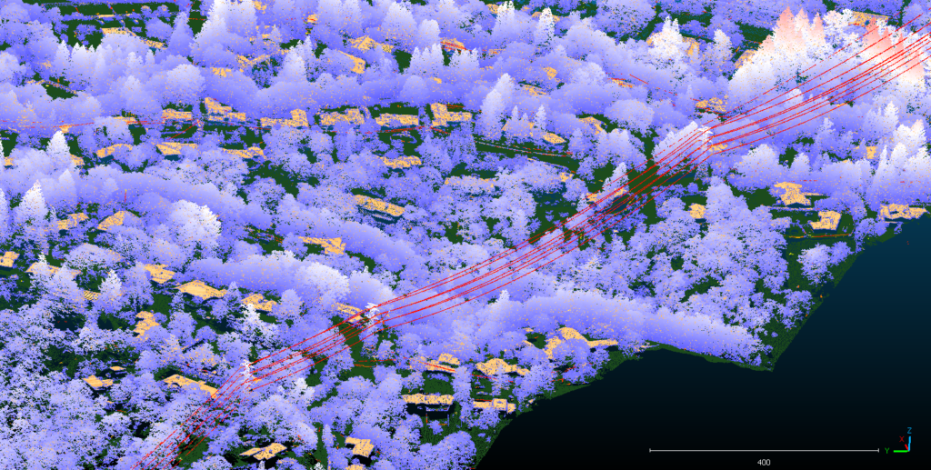
Processing LiDAR at the Speed of Light

Teren delivers information in a fraction of the time using Leica HxMap and the Teren Engine on the cloud. Note: This article was originally published as a case study by author Linda Duffy on Hexagon’s Leica Geosystems website. At that time, Teren was doing business as SolSpec. LiDAR data can be too much of a good thing. […]