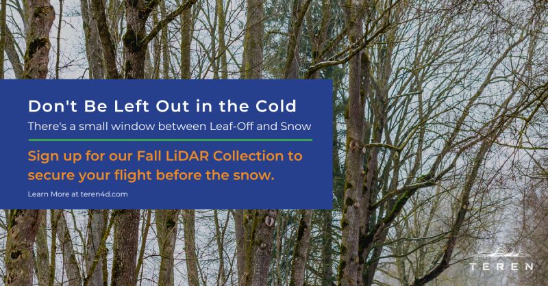
Teren’s Fall 2022 Appalachian LiDAR collection is just around the corner. There is a small window between leaf-off and falling snow, so its best to get on our schedule now.
Why Work with Teren?
We alleviate today’s challenges of working with massive 3D and 4D data sets by applying the data science and processing speed of the future. That means, you’ll be able to access your LiDAR data faster than ever.
How Fast is Teren?
We’re the fastest LiDAR data processing solution available. We think about our collection and delivery as 1:1. For every one day of collection, we need one day of processing. And no one else can promise that.
What is Teren’s Accuracy?
Resolution: 40cm GSD
LiDAR Pulse Density: 20 PPM
Vertical Accuracy: +/- 14cm
Horizontal Accuracy: +/- 40cm
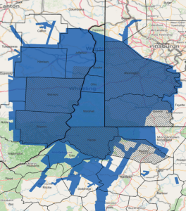
Where, exactly, is Teren’s Appalachian Coverage?
Our current footprint is below, but there’s still time to add your projects even if they’re outside of our footprint. Contact us today.