Skip to content
  •  
  •  
TerenTeren
  • PRODUCTS & SOLUTIONS

    TEREVUE CORE

    A cloud-based software solution for environmental risk management.

    TEREVUE PREMIUM DATA SUITES

    Geohazards


    Hydrology & Watershed


    Wildfire Risk


    Vegetation Management

  • INDUSTRIES
    • Land & Forestry
    • Pipeline Integrity Management
    • Renewable Development
    • Survey & Engineering
    • Transportation
  • RESOURCES
    • Knowledge Hub
    • Webinars
    • Customer Stories
    • Tools & Papers
    • What Analytics Fit Your Landscape?
  • ABOUT
    • About Teren
    • The Teren Platform
    • News
    • Careers
  • CONTACT
2023-logo-reverse

CUSTOMER
STORIES

Real world customers.

real world results.


From Backlog to Back-on-Track

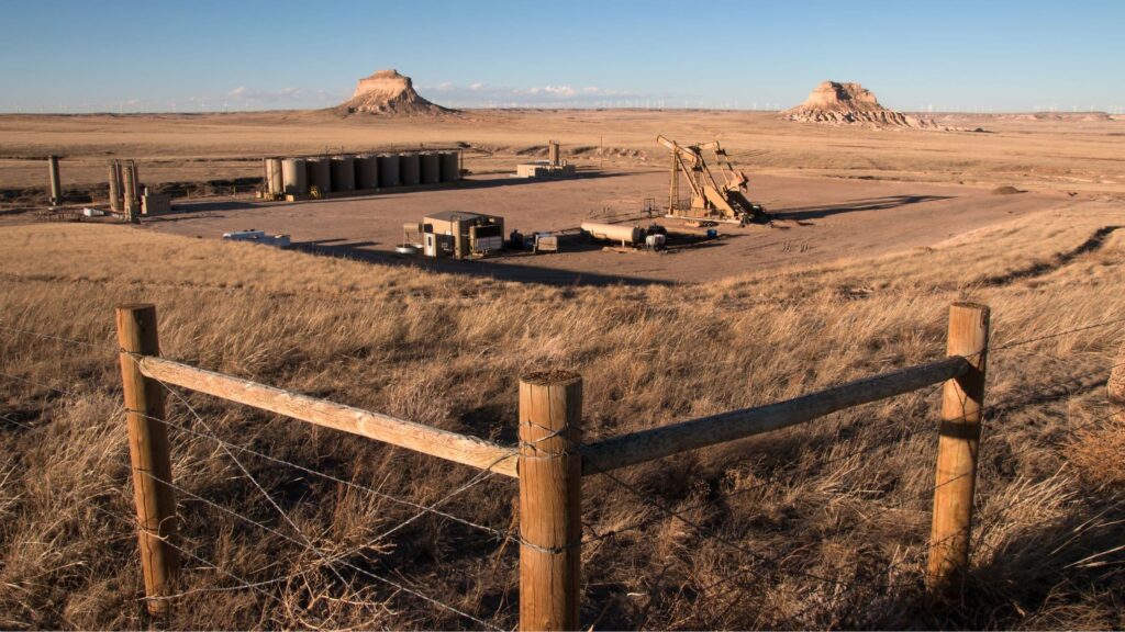
CLIENT: RENEWABLE ENERGY COMPANY

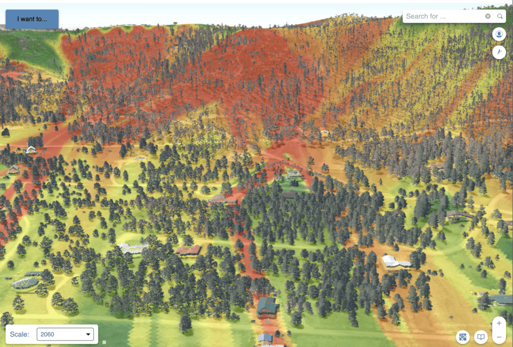
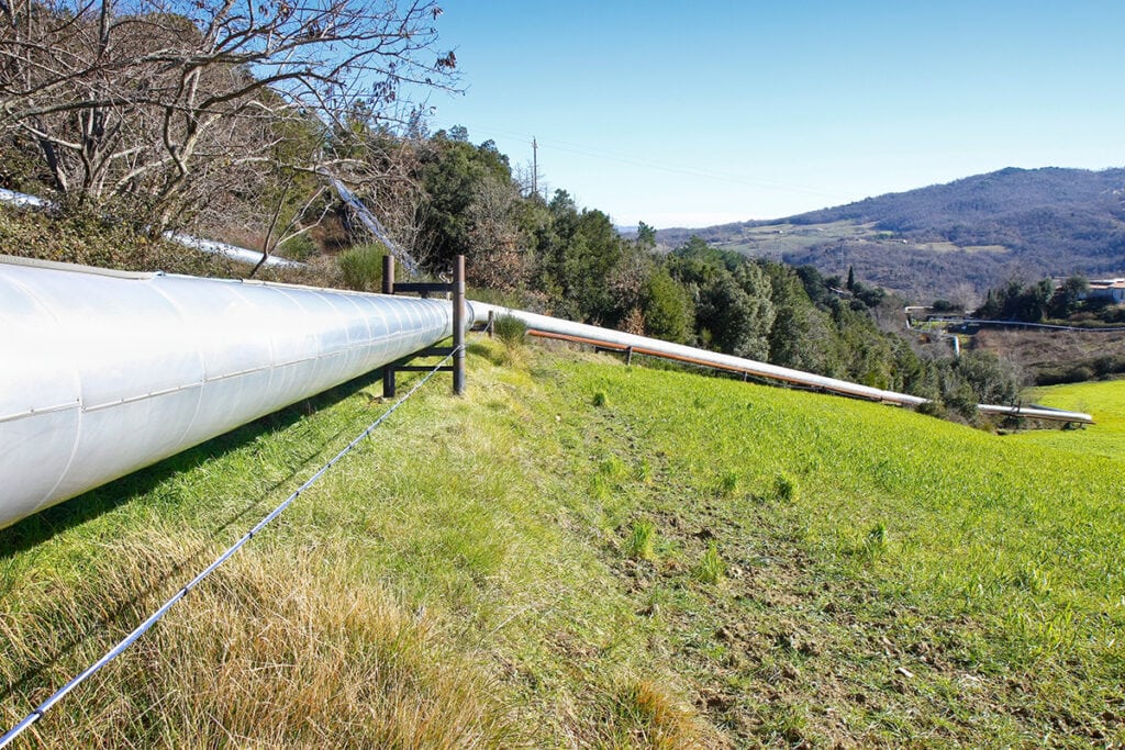
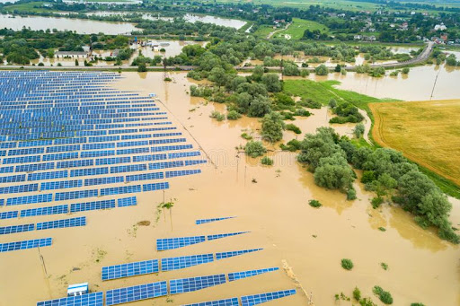
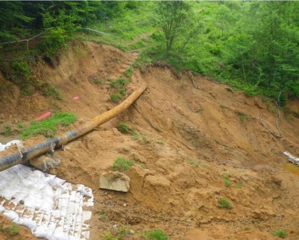
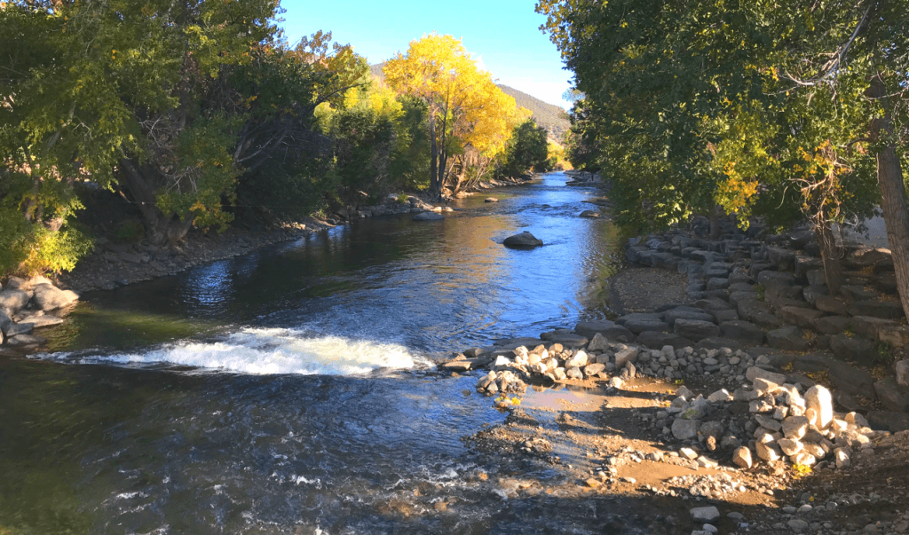
Utilizing Teren’s Hydrology and Vegetation Data Suites, the GIS team at a renewable energy company was able to essentially automate screening and processing their backlog of areas-of-interest (AOIs) for environmental threats based on publicly-available data, empowering them to prioritize projects at a fraction of the time and cost.

Read Now

Strange Bumps in the DTM

CLIENT: RENEWABLE ENERGY INVESTOR

Read how Teren’s LiDAR analytics helped a renewable energy investor see the true terrain.

Read Now

Transforming Well Pad Reclamation in Colorado

CLIENT: OIL & GAS PRODUCER

One major oil and gas producer has tapped into Teren’s vegetation intelligence to efficiently classify, prioritize, and accelerate well pad reclamation. 

Read Now
Lahaina wildfire

Protecting the Coral Reef in the Wake of the Lahaina Fire

CLIENT: Maui County

Thanks to Teren’s data and analytics, Maui County strides toward preserving its precious coral reefs. 

Download Case Study
Debris Flow Analysis

The Hermits Peak Watershed Management Project

CLIENT: USDA NRCS

The USDA’s Natural Resource Conservation Service partnered with Teren to complete a rapid assessment of the burn area and prioritize areas most susceptible to additional threats.

Download Case Study
Geohazard Monitoring

Above & Below: A Holistic Geohazard Monitoring Solution

Written by Teren & Rosen for PPIM 2023

Get ready to dive into the groundbreaking insights as you gain access and download the paper!

Download Paper
Teren Wetland Restoration

High-Fidelity Data & Hydrologic Modeling for Wetland Restoration

Teren’s high-fidelity data and modeling improved the wetland restoration process for mitigation compensatory bank permitting.

Read Now
Teren Protects Endangered Species

More than Vegetation Management

Client: PIPELINE OPERATOR

How one pipeline operator is leveraging Teren LiDAR and analytics to protect endangered species.

Download Case Study
Teren Inspection in Midwest Farmland

Enhancing Inspection Efficiency through Remotely-Sensed Data

Even on the plains of middle America, external forces threaten the integrity of transmission pipelines

Download Case Study
Geohazard Detection

Save Millions in Lost Revenue

Client: pipeline operator

Teren data and analytics identify, prioritize and monitor geohazards to reduce repair budgets and avoid pipeline shut-ins.

Download Case Study
Flooded Solar Farm

Addressing Operational Issues with High-Fidelity Data

Client: Developer

Teren’s data helped a renewable developer uncover the root cause of frequent ponding under solar arrays.

Download Case Study
Pipeline-Landslide-Erosion

Predicting Landslide Disaster

Client: PIPELINE OPERATOR

Teren data and analytics can predict potential disasters based on ground movement, hydrology, and vegetation.

Download Case Study
River debris

Examine Sedimentation Impacts in Poudre River Watershed

Teren examines the Cache la Poudre and which areas of the watershed are the highest priority for forest restoration treatments in light of recent wildfires.

Read More
Eroding washout red with iron

Improve TWI Measure for Soil and Vegetation Delineation

Client: USDA

Teren helped the USDA create a new and more comprehensive method for quantifying hydrological processes and soil moisture gradients to be used as a tool in delineating ecosystems, vegetation communities, and soil properties.

Read More

  • Privacy Policy
  • Careers
  • RSS Feed
  • YouTube
  • LinkedIn
Copyright © 2025 Teren, Inc
  • PRODUCTS & SOLUTIONS
    • TEREVUE CORE
    • TEREVUE PREMIUM DATA SUITES
      • Geohazards
      • Hydrology & Watershed
      • Wildfire Risk
      • Vegetation Management
      • Weather Impact
  • INDUSTRIES
    • Land & Forestry
    • Pipeline
    • Renewable Development
    • Survey & Engineering
    • Transportation
  • RESOURCES
    • Knowledge Hub
    • Webinars
    • Customer Stories
    • Tools & Papers
    • What Analytics Fit Your Landscape?
  • ABOUT
    • About Teren
    • The Teren Platform
    • News
    • Careers
  • CONTACT
╳
We use cookies to ensure that we give you the best experience on our website. If you continue to use this site we will assume that you are happy with it.OkPrivacy policy