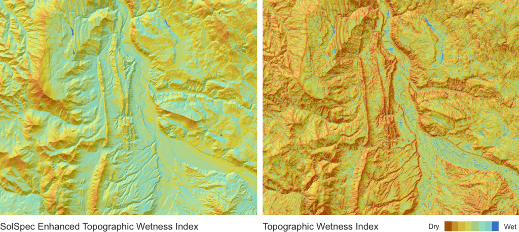
Elevating the Traditional Topographic Wetness Index with Teren’s Climate-Enhanced TWI

What is TWI? The Topographic Wetness Index (TWI) has long been a staple in modeling terrain moisture and watershed conditions. Widely accepted and frequently used, TWI serves as a crucial tool for ongoing land management decisions and actions. However, despite its utility, traditional TWI has significant limitations. Limitations of Traditional TWI While TWI is a […]
AI and Data Science: 3 Emerging Trends to Solve Environmental Challenges
Discover how AI is revolutionizing data science. Learn how data analysis and insights from AI can help tackle complex and costly environmental issues.
7 geologic hazards and their water-related triggers

Water is a powerful force that shapes our environment and influences a variety of geologic hazards. In this article, we delve into 7 geologic hazards and their water-related triggers, exploring how hydrology helps us understand and mitigate these dangers. What is Hydrology? Hydrology is the study of water and its movement, distribution, and properties in […]
Protecting the Coral Reef in the Wake of the Lahaina Wildfire
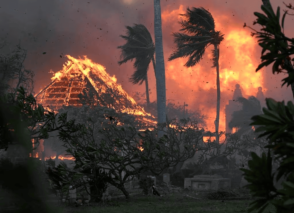
Thanks to Teren’s data, Maui County strides toward preserving its precious coral reefs, ensuring their resilience and long-term health in the wake of the Lahaina fire.
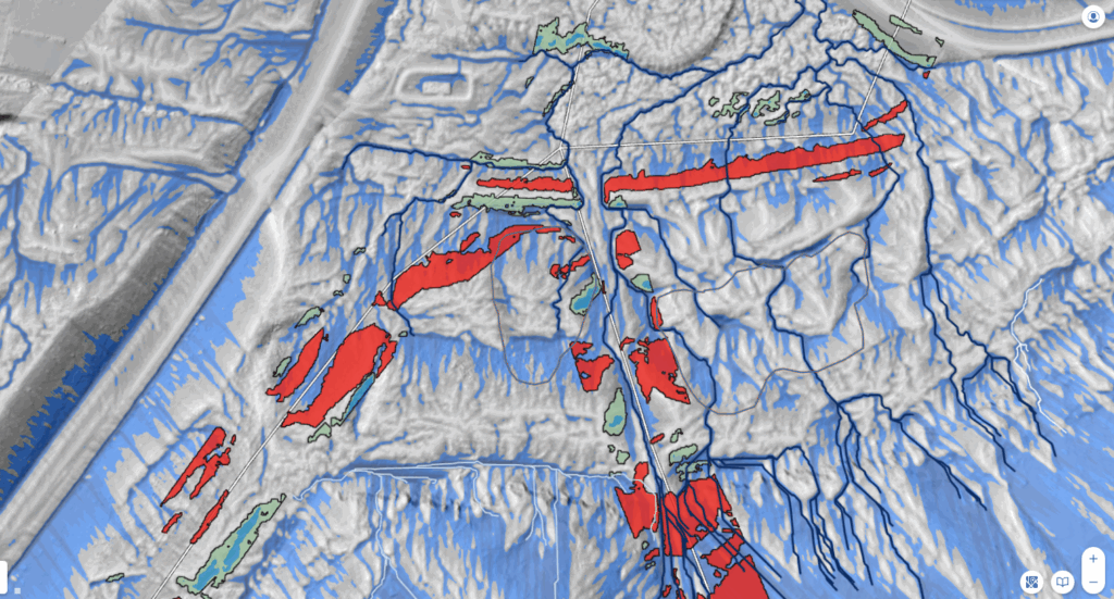
Coupling High-Fidelity Data & Hydrologic Modeling Expertise for Wetland Restoration

Teren’s high-fidelity data and modeling improved the wetland restoration process for mitigation compensatory bank permitting and development.
Top 4 Analytics for Renewable Developers
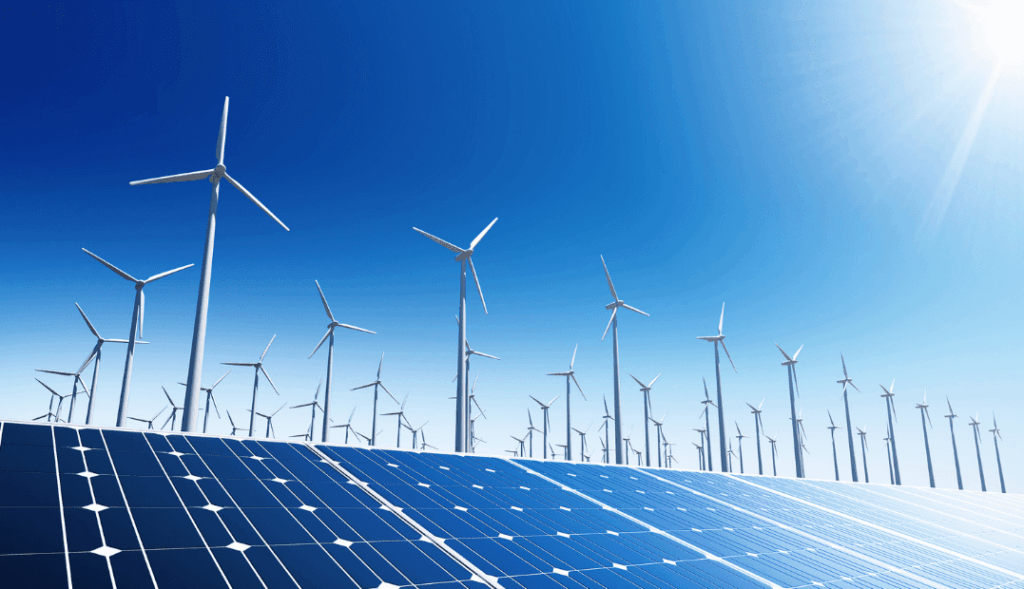
Renewable developers are in a hard space. On the one hand, they are in a race to get leasehold agreements in place, submit interconnect applications, and break ground to keep investors happy. On the other hand, they have a lot of due diligence to conduct before they invest too much. It can be devastating to […]
Top 6 External Threat Analytics to Keep Your Pipeline Safe

Traditional pipeline safety and integrity management programs focus on the pipeline itself, yet a pipeline’s stability also depends on Right-of-Way (RoW) health and the surrounding environment. After years of working with clients in Appalachia, a region that grapples with geological threats such as landslides, Teren has identified the top six external threat analytics that help pipeline operators […]
Teren Awarded USDA Grant to Improve TWI Measure for Soil and Vegetation Delineation
Award from the USDA Natural Resources Conservation Service Teren is pleased to announce our pending grant with USDA Natural Resources Conservation Service. Our work with them will focus on creating a new and more comprehensive method for quantifying hydrological processes and soil moisture gradients to be used as a tool in delineating ecosystems, vegetation communities, and […]