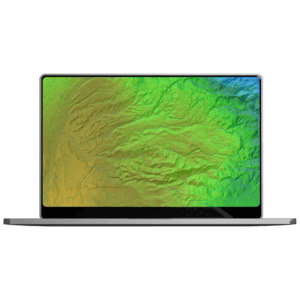
TEREVUE
Speed, quality and accuracy don’t have to be oxymorons.
For site engineers and surveyors, pre-construction survey work comes with the constant tug-of-war between speed and quality.
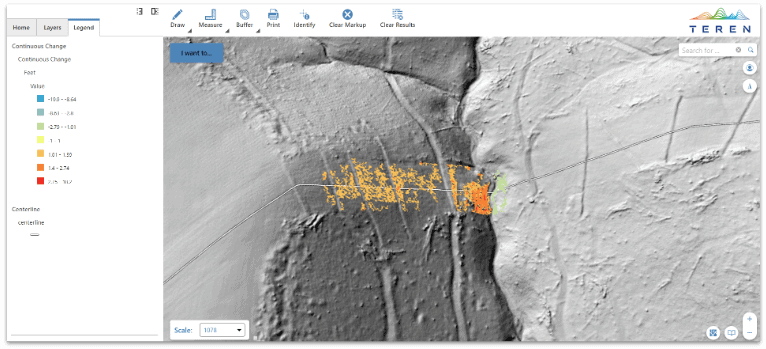
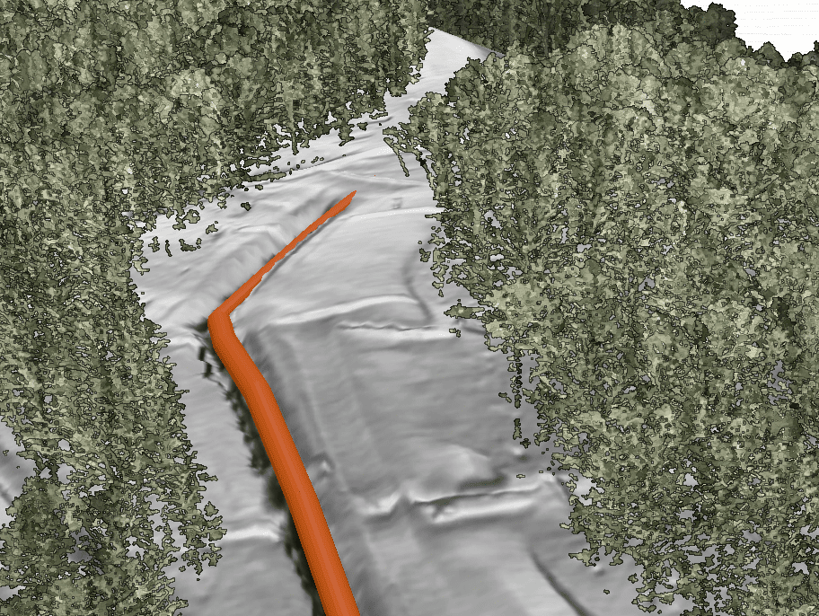
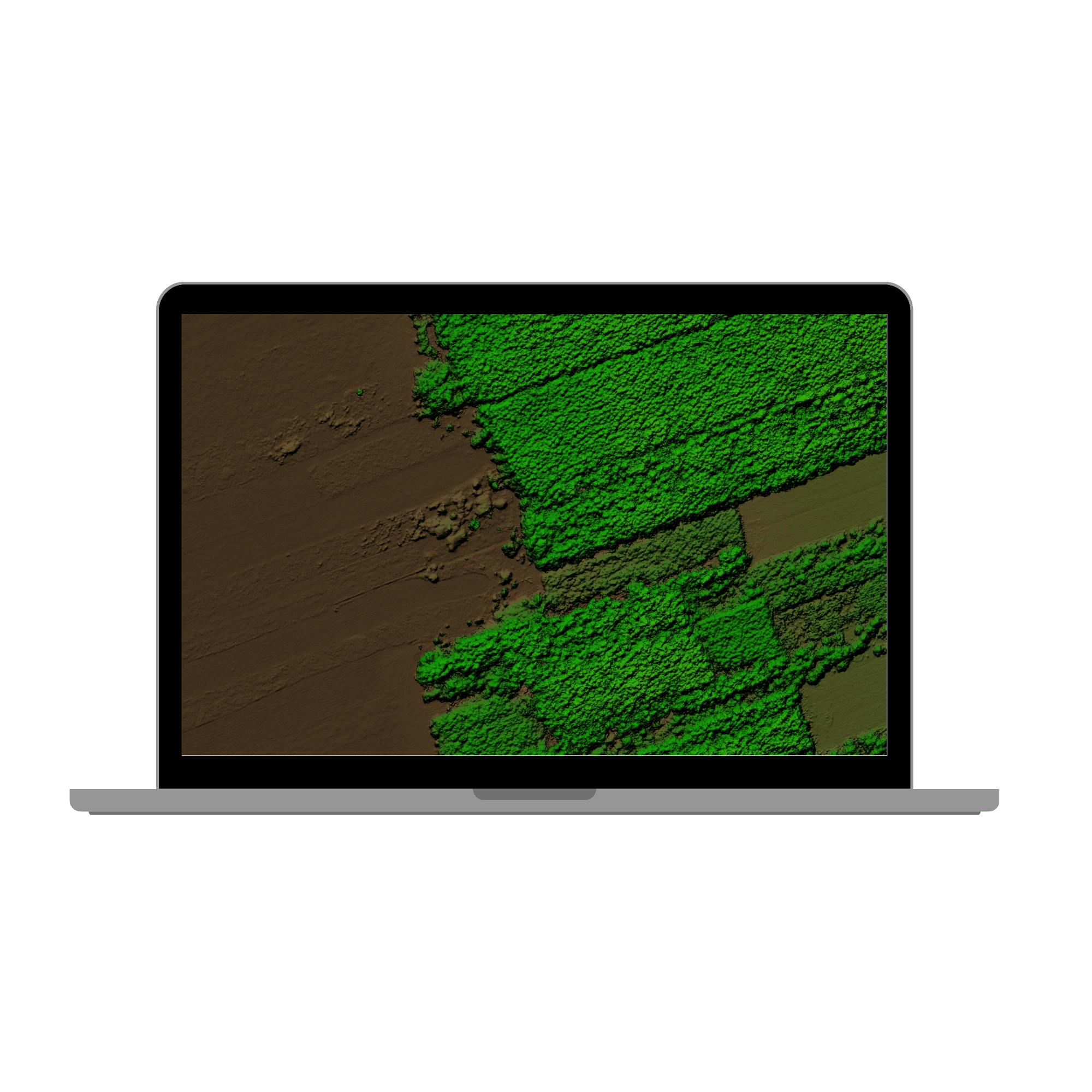
Get accurate topography data in hours, not days.
Goodbye competition.
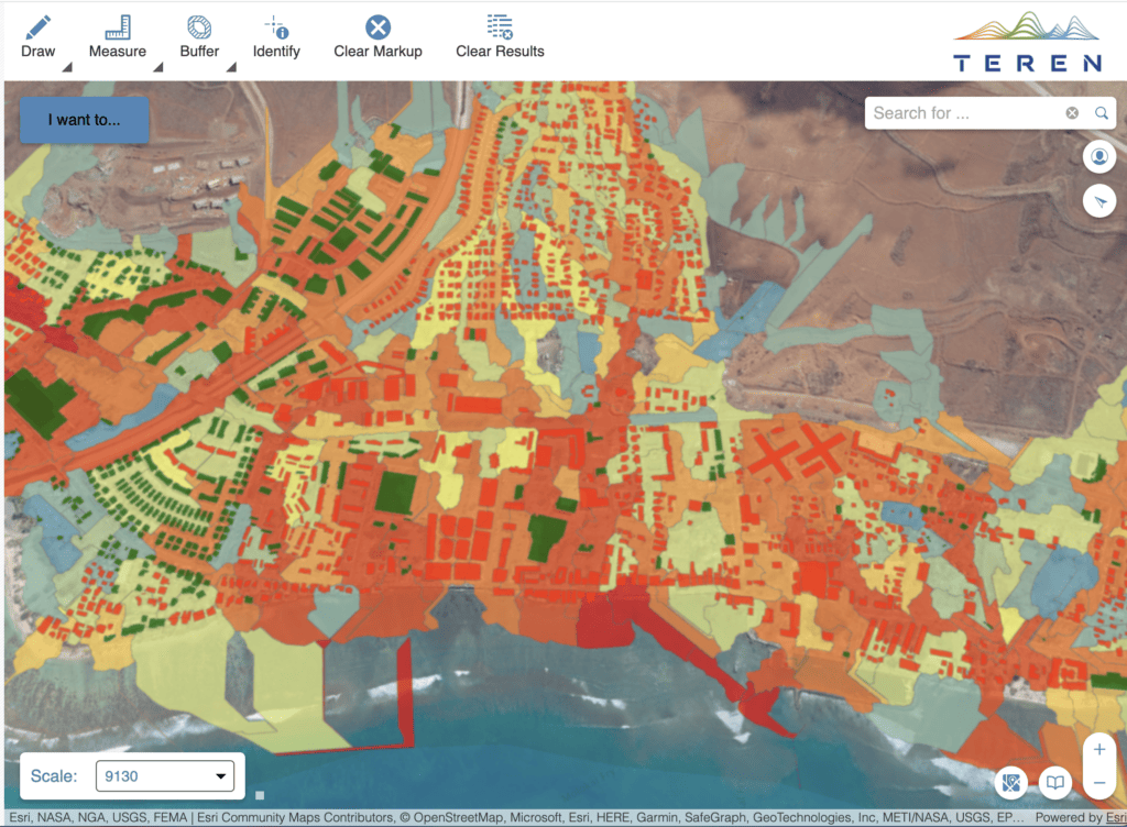
Teren’s suite of actionable survey data products provides LiDAR data acquisition, processing and analysis to better estimate construction costs and material needs — at speed that keeps you on schedule.
– DATA PRODUCT SUITE –
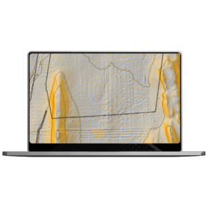
Contours

Digital Terrain Model
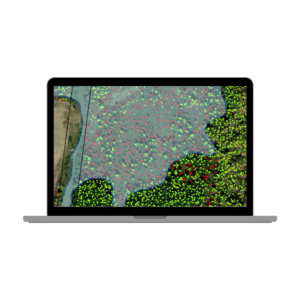
Vegetation
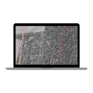
Digital Surface Model
Hydrology
BIG DATA. BIG RESULTS.
20min
vs. 30hrs processing time for project site
$400000
saved in infrastructure and labor costs
on a single project site
TRUSTED BY
Want to see Teren’s data product suite in action? Read these stories.
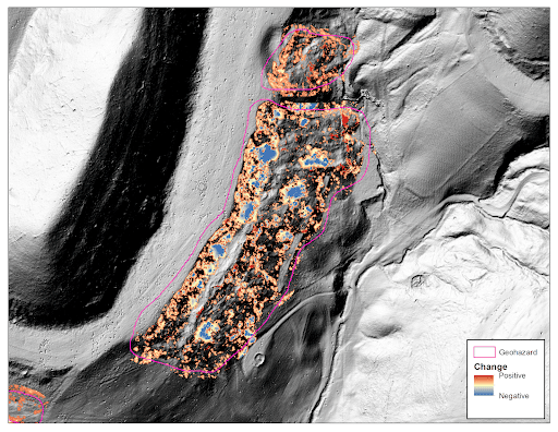
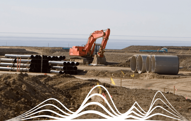
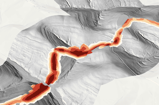
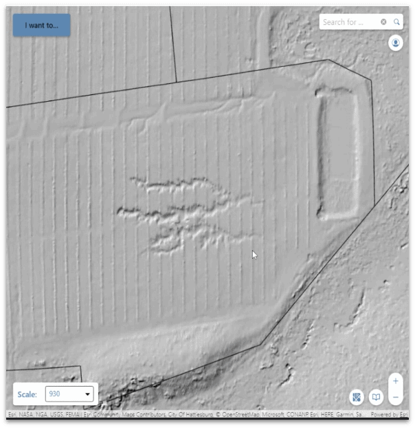
It all started with a strange bend in a pipe.
Tired of averaging 3-5 stressful shut-ins/year, this pipeline operator came to Teren to see the unseen and reduce repair budget by 90%.
Read More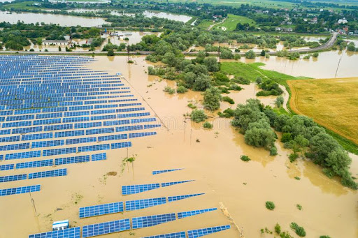
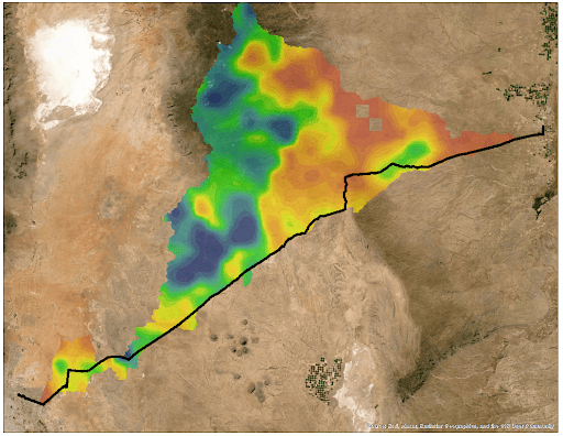
A solar farm was flooding regularly.
Teren analytics saw the solar site in new perspective, uncovering the source of the problem and identifying a long-term solution.
Read More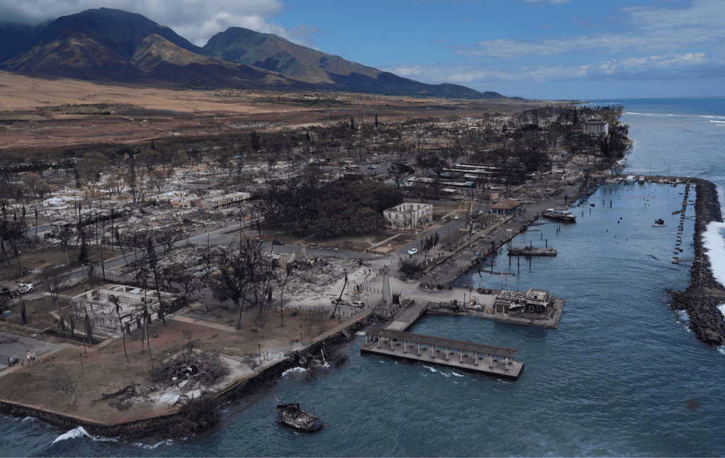
Lahaina was looking to rebuild and protect its coral reef post-wildfire.
Teren’s integrated approach harnessing photogrammetry data, spatial analysis, and ecosystem science equiped Maui County with the data to do just that.
Read More