TEREVUE
Ready, set, site screen.
The race is on to screen and select sites for renewable assets. But to cross the finish line, the hurdle of due diligence looms ahead.
Make hydro analytics your site screening superpower.
Teren’s suite of actionable renewable data products provides renewable developers with the hydrology risk analytics they need at a fraction of the time and cost.
Better data for better decisions.
– DATA PRODUCT SUITE –
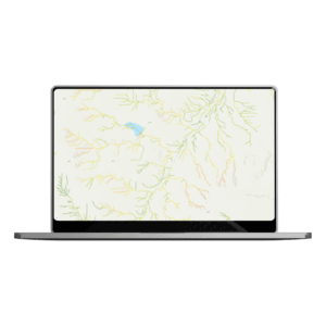
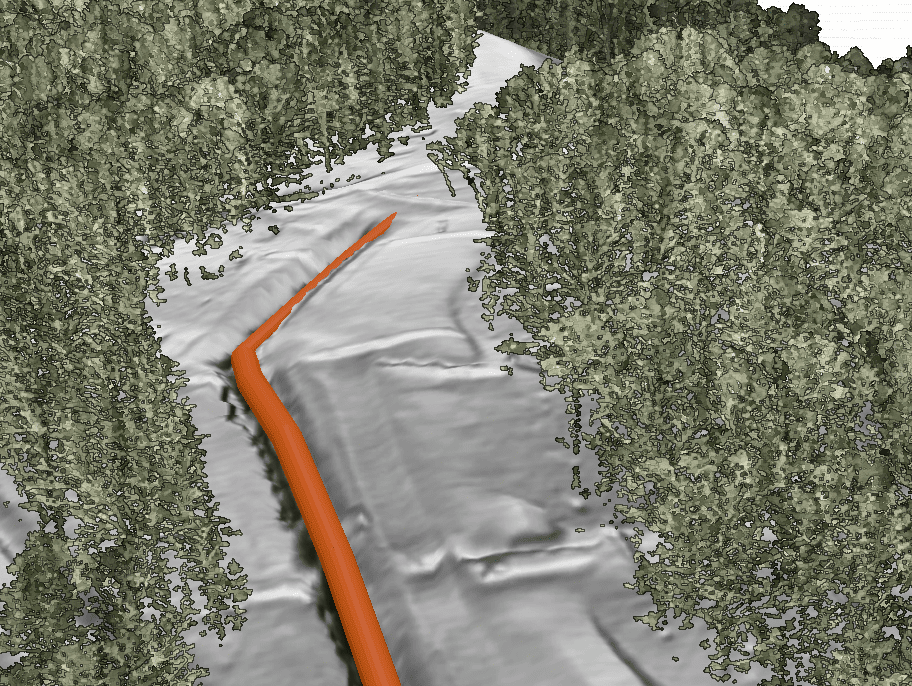
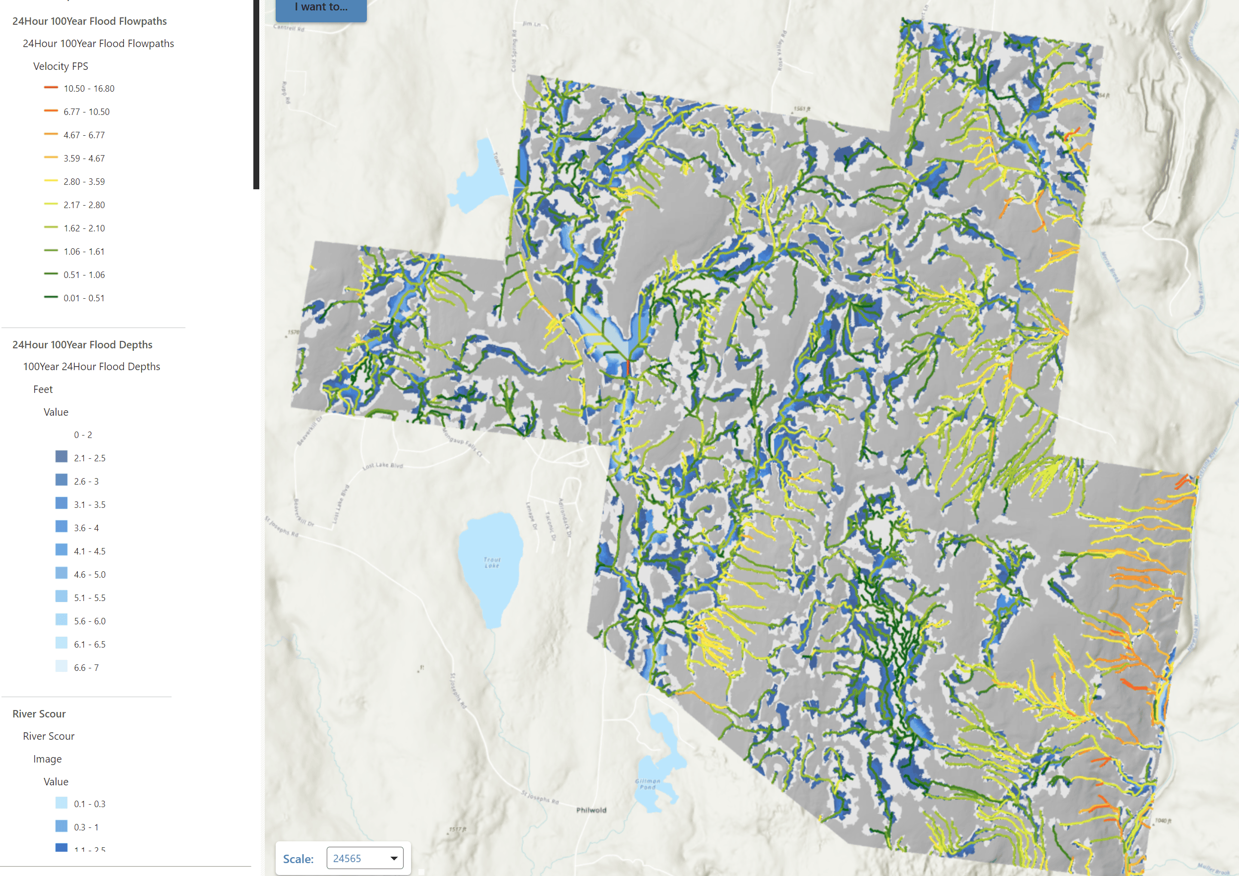
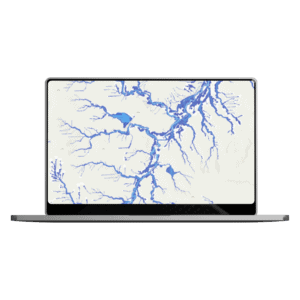
Flooding flowpaths
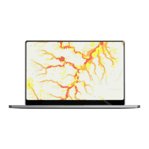
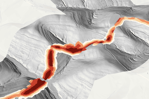
Scour depth
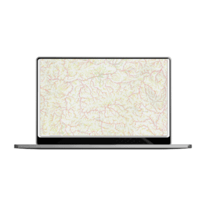
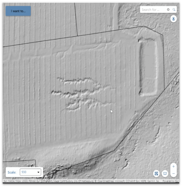
Flood inundation zones
Flooding depth
BIG DATA. BIG RESULTS.
2000000
acres mapped for renewable projects and counting
15
hours to map 5000 acres on a site
TRUSTED BY
Want to see Teren’s data product suite in action? Read these stories.
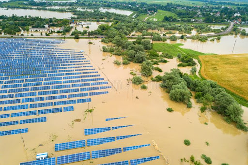
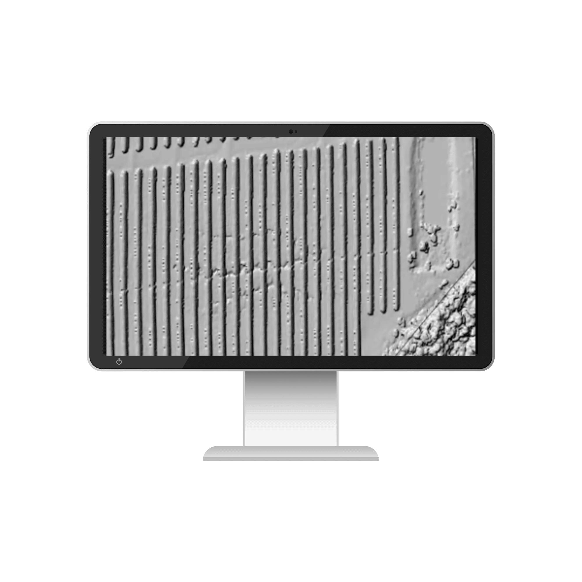
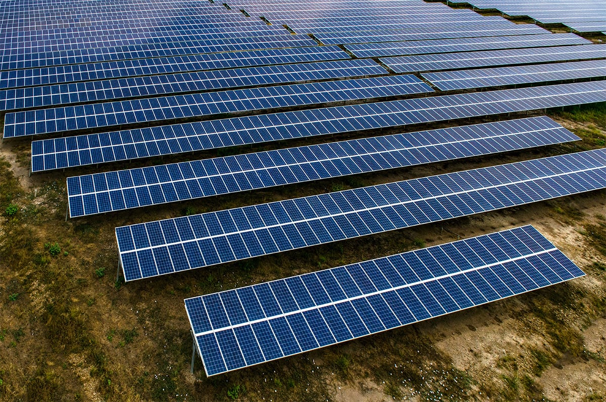
A solar farm was flooding regularly.
Teren analytics saw the solar site in new perspective, uncovering the source of the problem and identifying a long-term solution.
Read More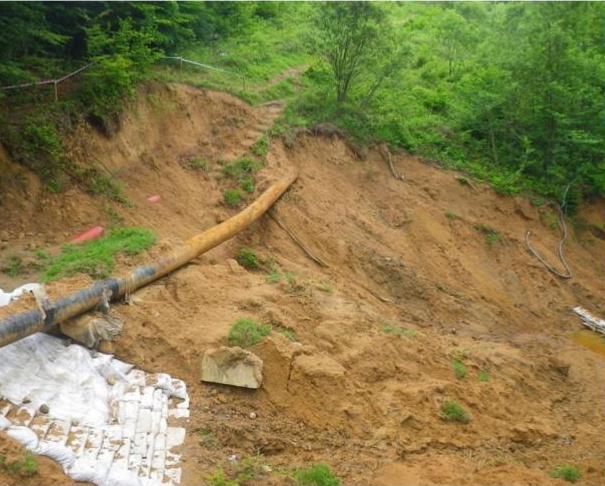
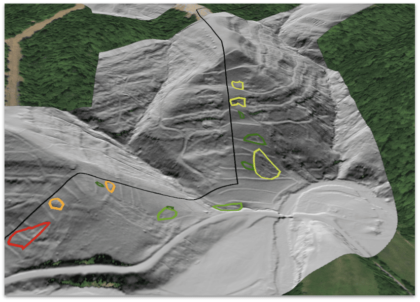
It’s always hard to tell a client “we told you so”.
But when Teren’s data predictions proved spot-on for a landslide resulting in $1.2 billion asset loss, it was time doing things differently.
Read More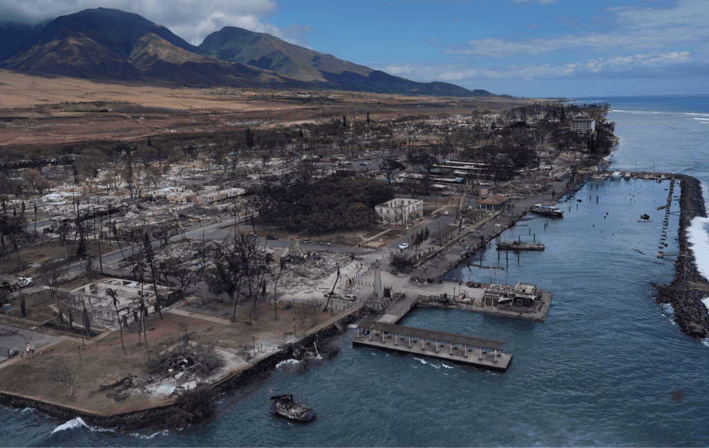
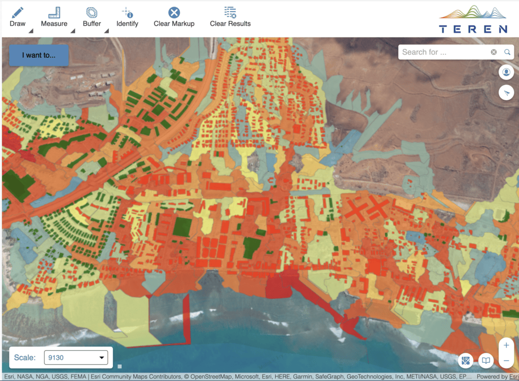
Lahaina was looking to rebuild and protect its coral reef post-wildfire.
Teren’s integrated approach harnessing photogrammetry data, spatial analysis, and ecosystem science equiped Maui County with the data to do just that.
Read More