Learn how Teren is supporting organizations across energy, land management and project development.

Save Millions in Lost Revenue
Teren data and analytics identify, prioritize and monitor geohazards to reduce repair budgets and avoid pipeline shut-ins.

Predicting Landslide Disaster
Teren data and analytics can predict potential disasters based on ground movement, hydrology, and vegetation.

Addressing Operational Issues with High-Fidelity Data
Teren’s data helped a renewable developer uncover the root cause of frequent ponding under solar arrays.

Hermit’s Peak Watershed Protection Analysis
Teren helped the region mitigate immediate and long-term risks in the wake of recent wildfires.

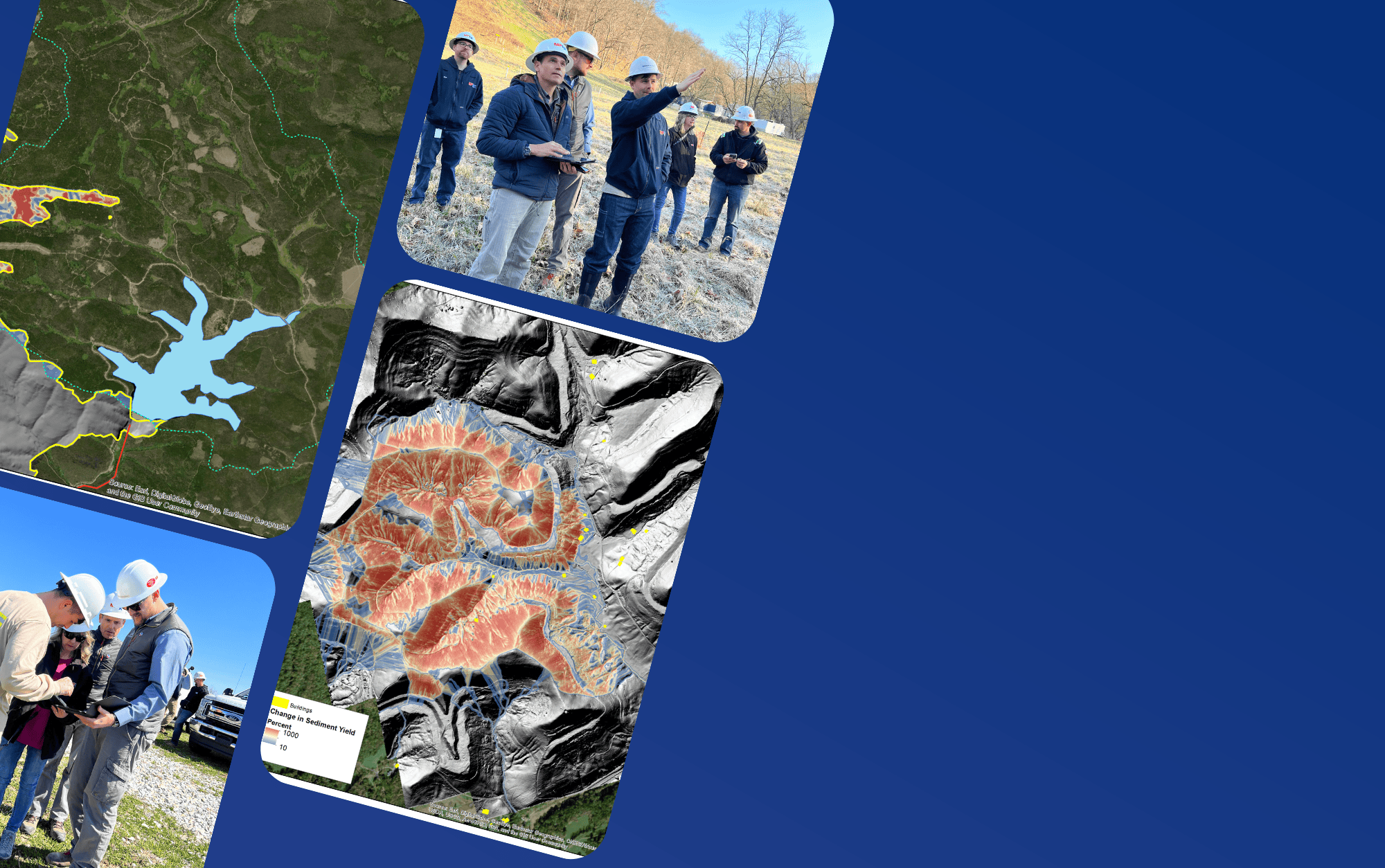
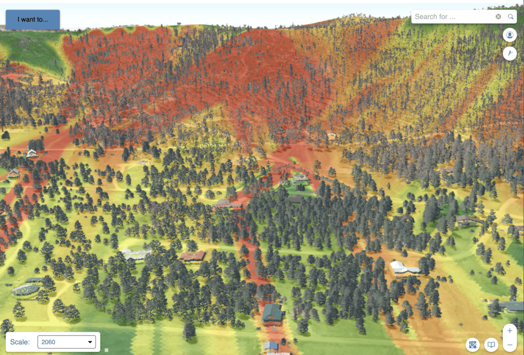
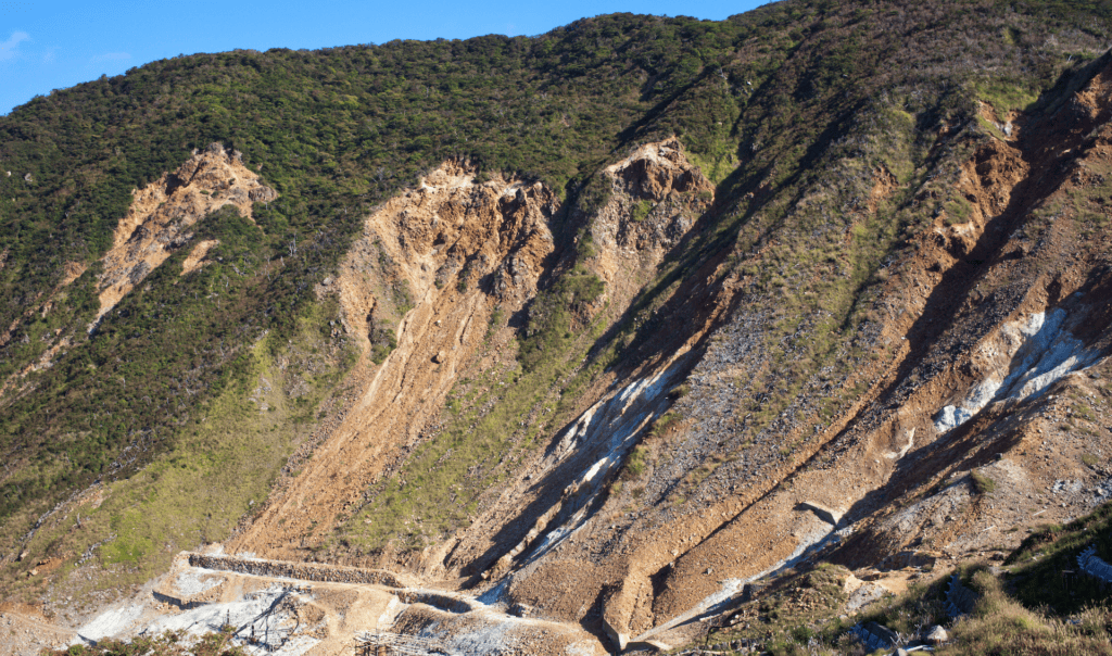
Improve TWI Measure for Soil and Vegetation Delineation
Teren helped the USDA create a new and more comprehensive method for quantifying hydrological processes and soil moisture gradients to be used as a tool in delineating ecosystems, vegetation communities, and soil properties.

Examine Sedimentation Impacts in Poudre River Watershed
Teren examines how much sediment other watersheds are contributing to the Cache la Poudre and which areas of the watershed are the highest priority for forest restoration treatments in light of recent wildfires.