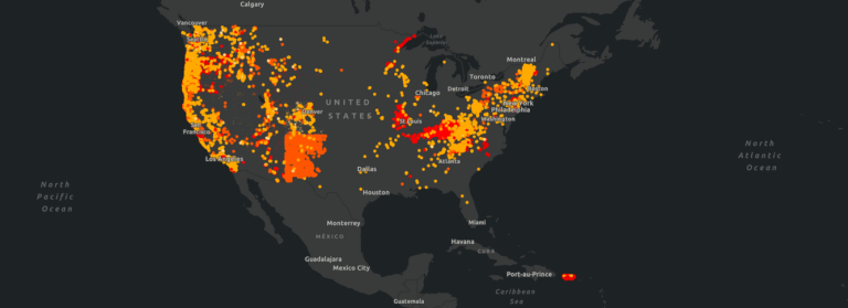
Hazard models are everywhere, from FEMA flood maps to state landslide inventories to national wildfire indices. But not all models are created equal.
For infrastructure operators (be it pipelines, utilities, transportation, renewables and beyond), integrity engineers, and damage prevention teams, these models directly influence decisions on where to deploy crews, how to prioritize integrity management spending, and how to demonstrate compliance and risk mitigation to regulators. Yet many commonly used tools rely on outdated data, oversimplified assumptions, or incomplete variables, resulting in inaccurate threat assessments that can compromise operational decisions.
Before relying on a hazard model for decisions that affect safety, compliance, and operational continuity, ask these six questions:
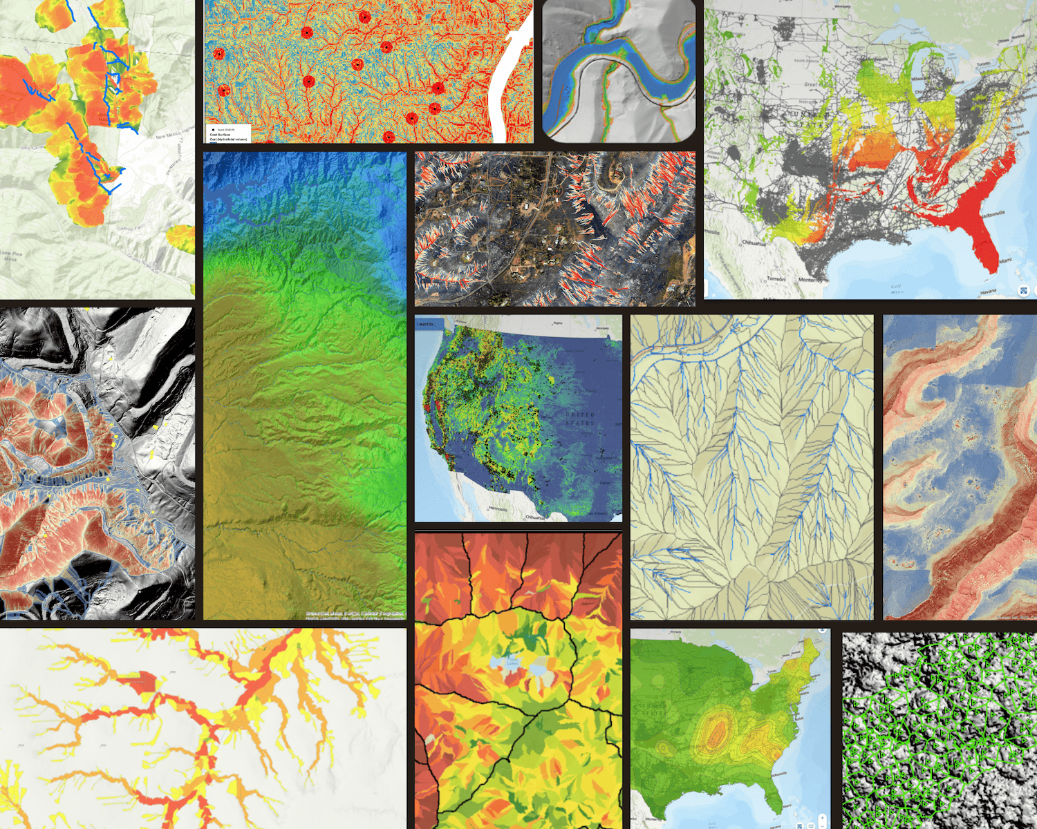
1. What Resolution Is the Model Built On?
Many national hazard models operate at 250-meter to 1-kilometer resolution, suitable for regional planning but inadequate for asset-level risk management.

Consider:
- Landslides, scour, and flooding impacts occur at sub-watershed scales, where a change in slope, soil, or channel morphology meters apart can determine the likelihood of failure.
- Coarse-resolution models often fail to detect operationally critical geomorphic and hydrological features that drive pipeline vulnerability, including narrow or ephemeral stream crossings, localized channel migration zones, undercut banks, steep slope segments, and small-scale terrain breaks that contribute to differential settlement or unsupported spans.
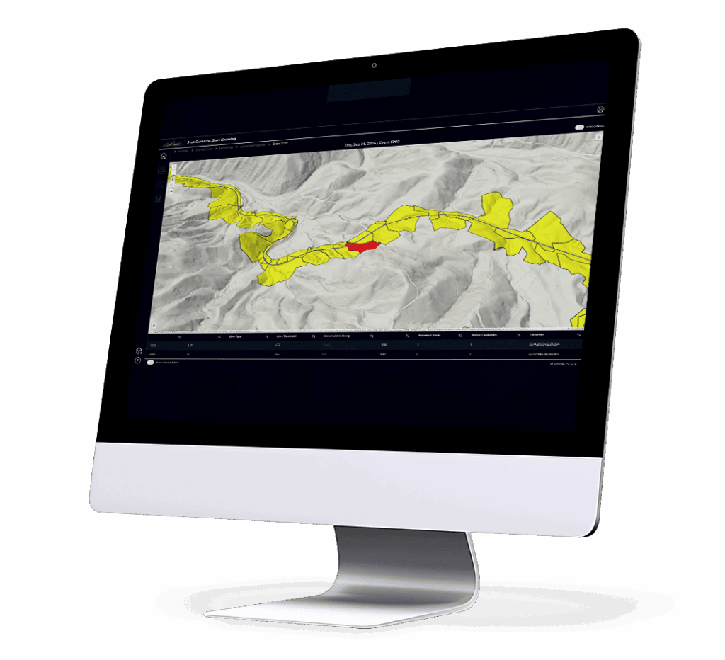
For effective infrastructure integrity management, models should operate at a minimum of 10- to 100-meter resolution, enabling detection of threats at the scale of individual crossings and slope segments.
2. Is It Predictive, or Merely Historical?
Many public datasets (e.g., USGS landslide inventories, FEMA flood maps) show where hazards have occurred in the past. While these are useful references, they do not indicate where hazards are likely to occur under current or forecasted conditions.
Predictive hazard models should:
- Integrate real-time and forecasted environmental drivers such as precipitation intensity, snowmelt, soil moisture, and vegetation condition.
- Use probabilistic or machine-learning methods trained on historical event data to estimate future likelihood.
- Provide dynamic threat scores that update with changing environmental conditions to support proactive patrols and emergency response workflows.
Without forward-looking capability, models are limited to documenting past events rather than enabling anticipatory risk management.
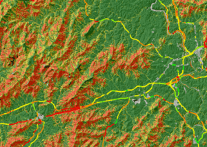
3. Are the Right Variables Included?
Hazard models should incorporate the specific drivers that influence each hazard type:
- Landslides: slope, soil cohesion, infiltration, vegetation cover.
- Scour and erosion: stream power, watershed area, channel slope, substrate erodibility.
- Wildfire: vegetation type, fuel moisture, wind conditions.
Comprehensive models typically include:
- Topography: slope, aspect, curvature, elevation.
- Soils: infiltration rates, depth, erodibility, cohesion.
- Hydrology: precipitation, discharge rates, watershed connectivity.
- Climate: long-term and near-term weather patterns.
- Land use and vegetation: critical for wildfire and erosion modeling.
Models that lack transparency on covariates, oversimplify drivers, or use uniform assumptions across diverse terrain should be treated with caution.
4. How Was the Model Validated?
Validation is essential to ensure models reflect real-world hazard behavior rather than theoretical outputs.
Effective hazard models:
- Are validated using event-based datasets, comparing predictions to documented failures, exposures, and environmental triggers.
- Publish quantitative accuracy metrics (e.g., precision, recall, area under the curve, true positive rate).
- Demonstrate performance across multiple terrain types and climate regimes to confirm generalizability.
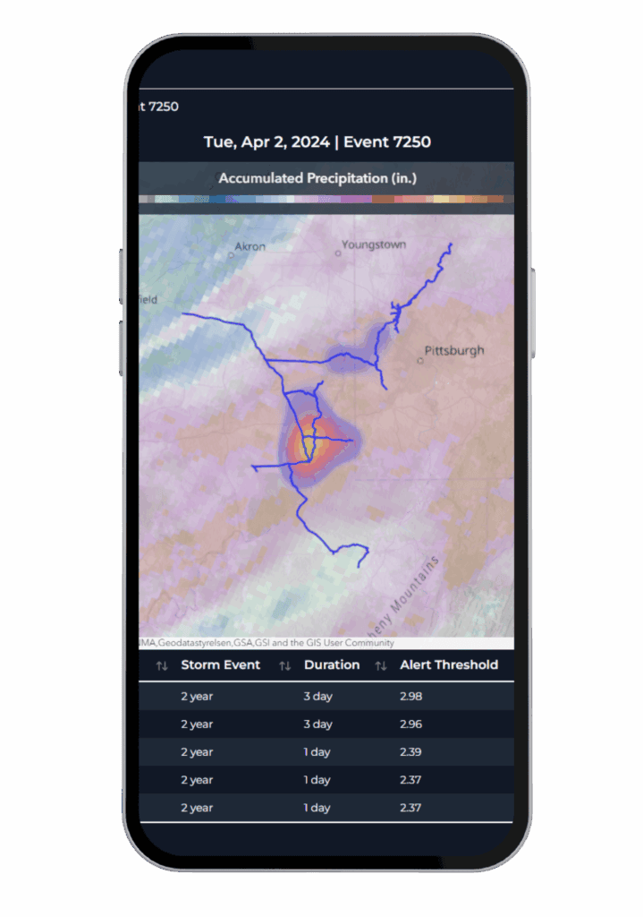
For example, Teren’s landslide threat model demonstrates 89% correspondence with over 11,000 documented landslide events across the U.S., providing confidence in operational deployment. Models lacking published validation results or using inconsistent methods across regions are less reliable for integrity planning.
5. Is the Model Scalable and Consistent Across Geographies?
Hazard models that rely on local assumptions or limited geographic calibration may fail when applied across diverse infrastructure networks, complicating system-wide risk assessments.
For operators managing assets across basins, states, or regions, models should:
- Use consistent data sources and methods across the conterminous U.S. or the applicable operational area.
- Support scalable assessments without requiring incompatible, stitched-together datasets.
- Allow risk comparison across pipeline segments and systems to prioritize resources objectively.
This ensures consistent, system-wide risk assessment and regulatory defensibility.
6. Can the Model Be Integrated with Your Enterprise Data?
A hazard model’s utility increases when it can integrate with your enterprise systems for operational decision-making.
Key considerations:
- GIS Compatibility: Outputs should ingest seamlessly into ESRI, QGIS, or other spatial platforms for overlay with pipeline centerlines, HDD crossings, and ILI data.
- Alignment with ILI and SCADA Data: Models should correlate with strain anomalies, bending strain data, and SCADA telemetry to identify converging risk signals.
- Regulatory Workflows: Data should align with PHMSA (or other relevant regulatory body) and internal threat analysis frameworks to support annual and audit reporting.
- Dynamic Data Feeds: Ability to incorporate real-time weather or river gauge data to enable situational awareness and response readiness.
Integration capability transforms hazard models from passive reference layers into dynamic, decision-support tools that directly enhance your integrity management, damage prevention, and emergency response programs.
A Note on Terevue
The Terevue Environmental Intelligence Platform was designed around these exact questions. Its threat models—for landslides, scour, flooding, and more—combine high-resolution terrain, real-time weather inputs, forward-looking environmental drivers, and statistically validated outputs, all applied consistently across the U.S. Terevue is among several advanced solutions redefining hazard modeling and infrastructure resilience as a core operational capability, not just a compliance step.
Final Thought:
Threat models are no longer a luxury—they’re part of your operational playbook. But the wrong model can give a false sense of security or send teams chasing phantom risks. By asking these six questions, infrastructure operators and integrity teams can ensure that the hazard models they use are technically sound, actionable, and defensible, supporting safer operations, effective resource prioritization, and regulatory compliance in a dynamic risk environment.