Teren’s AI-driven approach to remotely-sensed data and analytics was featured in a recent article by DATAVERSITY.
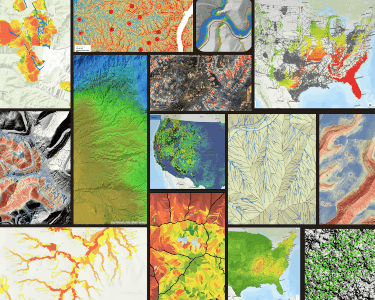
Teren founder, Toby Kraft, penned an article on how our approach to geospatial analytics is shaking things up in the geospatial industry. An AI-driven approach to geospatial analytics processes vast quantities of data and distills it into understandable takeaways, identifying trends and outliers to support a subject matter expert or decision-maker’s interpretation.
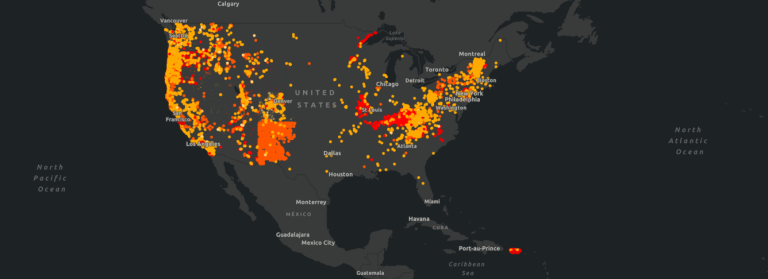
As a result, asset owners have a much clearer and closer-than-ever-to-real-time understanding of geological threats to their infrastructure.
Notable excerpts from the article include:
- With climate-related risks ever-increasing, it’s more important than ever to understand and mitigate asset risks. The adoption of AI-driven geospatial analytics as a source of digital transformation has grown to help organizations detect, prioritize, and monitor external threats. In fact, 36% of large and mid-sized organizations will deploy spatial intelligence software by this year, a 10% increase from 2019.
- The vast majority of business decision-makers believe AI holds the potential to deliver more sustainable business practices beneficial to their organizations and the communities they serve. And the global GIS market is growing. It’s expected to reach $13.6 billion by 2027, up from $6.4 billion last year.
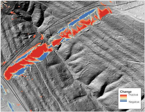
- This AI solution includes a safety component, too, facilitating decision-making when time matters. For example, it allows employees to assess dangerous situations – like a landslide near a pipeline – remotely, rather than requiring a boots-on-the-ground evaluation. Someone monitoring the area can use LiDAR to extract near-real-time data about vegetation, the landslide’s direct impact on the pipeline, and the surrounding environment.
Read the full article on DATAVERSITY or contact Teren to learn more.