
Death by Average: Why “100-Year” Floods and Landslides Keep Happening, and Average Risk Models Are Failing Us

If you feel like “100-year” floods are happening every few years, you’re not imagining things. The problem isn’t just the climate—it’s the math. For decades, engineers and emergency managers have relied on recurrence intervals like the “100-year flood” to describe the likelihood of natural disasters. But as extreme weather events grow more frequent and destructive, […]
Introducing Terevue Hydrotech: Real-time Flood and Scour Risk Intelligence for Pipeline Operators

Flooding doesn’t wait for maps to be updated. Yet too many asset managers and operators are still relying on legacy flood tools that were never built for today’s extreme weather—or the critical infrastructure they threaten. That’s why Teren is proud to introduce the Hydrotech Module—the latest addition to the Terevue Platform, purpose-built to help pipeline […]
Understanding Post-Wildfire Hazards & Insurance Implications: A Conversation with Leading Geomorphologist John Norman

As wildfires like the recent ones in Los Angeles become increasingly prevalent across our landscapes, understanding their long-term impacts becomes crucial for land managers and insurance providers alike. We sat down with Teren’s John Norman, a geomorphologist with over two decades of experience studying post-wildfire landscapes, to discuss the critical risks and considerations facing professionals […]
Predicting Landslides: Teren’s Hydrology Modeling Validated by Hurricane Helene

In the wake of Hurricane Helene, Teren worked with USGS data to validate its innovative approach to predicting landslides triggered by extreme weather events. Mapping the Risks: Before and After Helene The study used Teren’s slope stability analysis, which calculates a balance between resisting and driving forces in soil. The analysis began with a pre-Helene […]
From Polar Bears to Landslides: A Geomorphologist’s Quest to Solve Nature’s Greatest Mysteries Through Soil
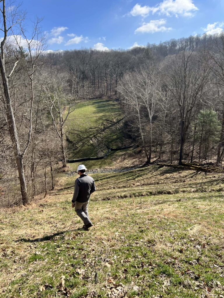
In his 25+ years as a geomorphologist, soil scientist and quantitative spatial ecologist, John Norman has navigated the realms of the impossible more than once. From predicting landslide risks to studying soil moisture, his journey has been one of transforming once “impossible” tasks into actionable science. But one project stands out: the time he was […]
6 Key Analytics for Insuring Properties in Hazard-Prone Markets
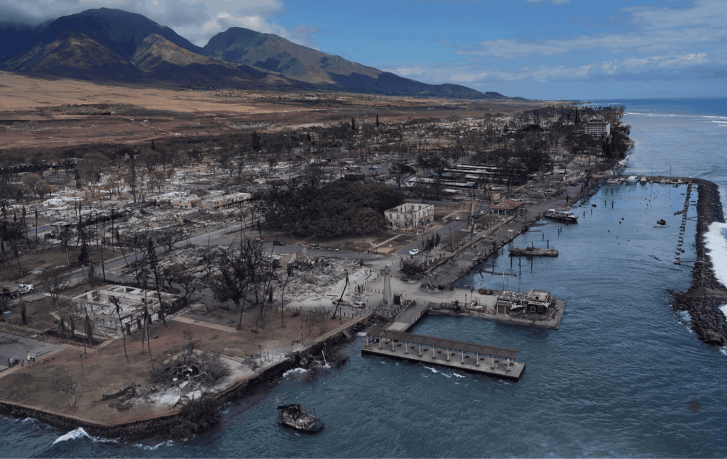
Insuring properties in hazard-prone markets, such as homes located near wildfire risk areas, requires a specialized approach to risk analysis. The stakes are high, and the potential for catastrophic losses makes it crucial for insurers to leverage advanced analytics. In this blog post, we’ll explore the top analytics tools and techniques that are essential for […]
Teren Applauds Introduction of Modernizing Wildfire Safety and Prevention Act
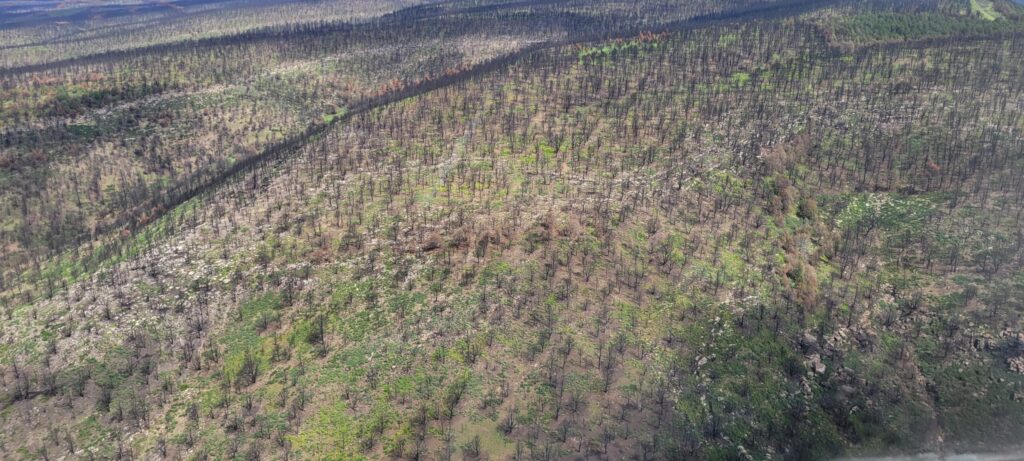
Teren commends the introduction of the Modernizing Wildfire Safety and Prevention Act of 2024, a welcome legislative effort led by Representatives Josh Harder (D-CA), Scott Franklin (R-FL), and Joe Neguse (D-CO). There are 4 main focuses of the Act: 1. Fire Mitigation and Technology 2. Wildland Fire Workforce Development 3. Wildland Firefighter Support 4. Wildfire […]
AI and Data Science: 3 Emerging Trends to Solve Environmental Challenges
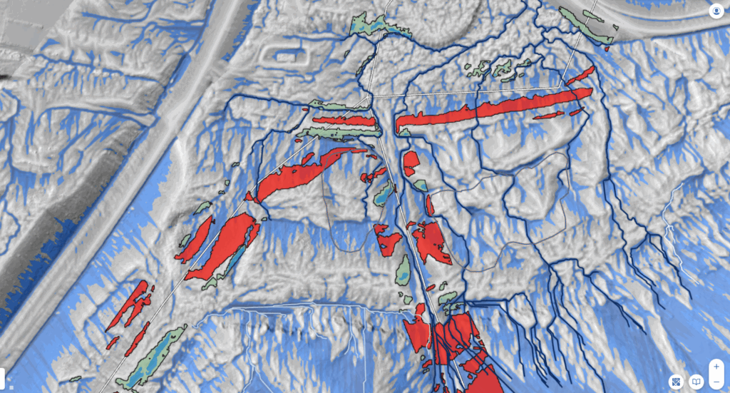
Discover how AI is revolutionizing data science. Learn how data analysis and insights from AI can help tackle complex and costly environmental issues.
Protecting the Coral Reef in the Wake of the Lahaina Wildfire
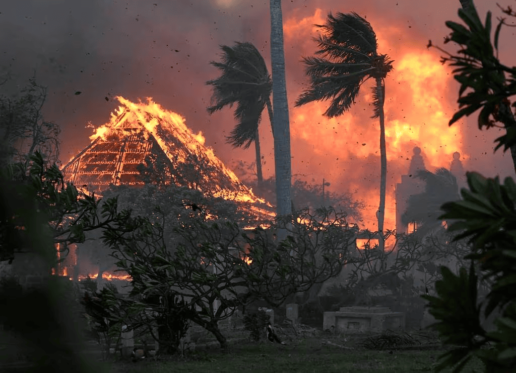
Thanks to Teren’s data, Maui County strides toward preserving its precious coral reefs, ensuring their resilience and long-term health in the wake of the Lahaina fire.
What is an Environmental Twin?

Teren’s environmental twin platform is designed to deliver accurate digital replicas of changing environmental conditions. It achieves this by seamlessly fusing remotely-sensed data, real-time climate intelligence, and ecosystem insights.