In an era marked by increasing climate variability, asset owners, governments, and communities are recognizing the significance of bolstering asset resilience. While traditional desktop analysis using static geospatial layers has been the norm for risk assessment, the utilization of climate-informed geospatial data layers offers a more comprehensive, temporally relevant, and proactive approach towards asset resilience.
This blog explores the advantages of employing climate-informed geospatial data, available as a part of Teren’s Essentials, and highlights how they outperform the static layers often used in desktop studies in supporting resilient asset management strategies.
[ux_text text_color=”#26408d”]1. Dynamic Data Captures Changing Conditions
[/ux_text]Climate-informed geospatial data layers integrate dynamic weather and climate data with geospatial information, enabling a deeper understanding of the potential impacts of climate change on various assets. These layers encompass a range of variables, such as temperature, precipitation, sea level rise, storm surge, and extreme weather events, that are vital for assessing asset vulnerability and designing effective resilience measures.
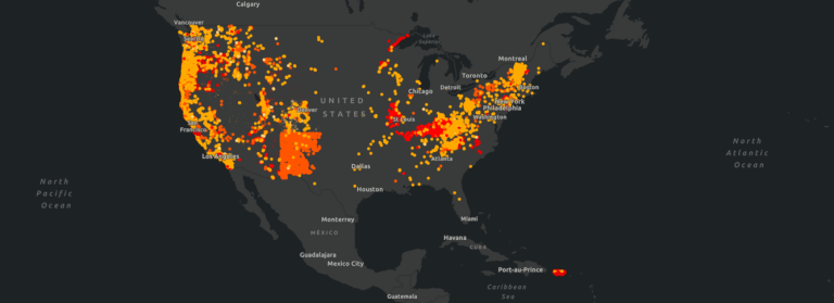
[ux_image id=”2540″] [ux_text text_color=”#26408d”]2. More Accurately Assess Asset Vulnerability
[/ux_text]By integrating weather and climate data, asset owners can conduct a more accurate assessment of asset vulnerability. The inclusion of climate variables in the analysis helps identify potential risks, such as increased flood frequency, rising temperatures, or shifts in precipitation patterns, that might impact assets. This enhanced understanding enables stakeholders to prioritize interventions and allocate resources more effectively to mitigate risks.
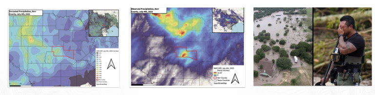
[ux_text text_color=”#26408d”]3. Improve Risk Analysis and Resilience Planning
[/ux_text]Climate-informed geospatial data layers also enable advanced risk analysis to identify high-risk areas and develop targeted resilience strategies (such as prescribing LiDAR to monitor an asset in real-time). For example, when assessing flooding risks, incorporating abnormal precipitation, higher than average temperatures, and stream power into the analysis provides a more accurate depiction of vulnerable zones and aids in designing appropriate mitigation measures.
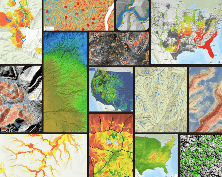
[ux_image id=”2555″] [ux_text text_color=”#26408d”]4. Support Decision-Making & Enterprise-wide Collaboration
[/ux_text]When climate and weather geospatial layers are infused into risk models, emergency response platforms, and operational tools such as a GIS, stakeholders are empowered with valuable insights to make informed decisions regarding asset resilience. Visual representations of climate risks facilitate effective communication of these complex datasets across an organization – fostering awareness and understanding. As a result, it promotes collaboration among stakeholders, encouraging collective efforts towards implementing resilience measures.
[ux_text text_color=”#26408d”]Summary
[/ux_text]By incorporating dynamic climate data, these layers enable better assessment of asset vulnerability, improved risk analysis, enhanced decision-making, and effective communication with stakeholders. Leveraging Teren’s climate-informed geospatial data layers equips us with the necessary tools to design resilient asset management strategies that can adapt to changing environmental conditions and secure the future of our critical infrastructure and valuable assets.
[divider align=”center” width=”80px”]Teren Essentials vs. Desktop Studies
In the face of a changing planet, the ability to harness dynamic data in reference to assets is critical for long-term sustainability and a cornerstone of asset resilience. While traditional desktop studies have their merits, climate-informed geospatial data layers offer a more comprehensive and forward-thinking approach to enable asset resilience.
Teren delivers the climate-informed geospatial data needed to evaluate asset threats via Essentials. Unlike traditional desktop studies, Teren’s powerful processing capabilities analyze thousands of miles in minutes. We deliver a more accurate analysis faster than anyone so you can take action to protect your asset.
Additionally, Teren delivers the data linear-referenced to your asset saving significant time and money on data collection, analysis and integration. Teren’s Essentials is the Asset Resilience Toolkit you need identify risk holistically, evaluate potential mitigation options, and make optimal choices that enhance overall asset resilience.