Toby Kraft was interviewed for a recent article by Geospatial World. He touched on Teren’s approach to asset management by using remotely-sensed data to enable climate resilience.
Climate change is massively disrupting the way organizations manage physical and financial risk. Existing climate risk models predict where and how physical risks will increase, in terms of severity and frequency. However, awareness of climate risk is not enough. The market demands complete, actionable solutions that enable asset owners to pinpoint risk, prioritize where they protect their assets, and measure improved climate resilience.
In a recent interview with Geospatial World, Teren CEO Toby Kraft discussed Teren’s approach to helping asset owners make the leap from risk to resilience.
Notable excerpts from the article include:
- Climate resilience analytics goes beyond climate risk modeling to inform physical risk mitigation and strengthen resilience. It pinpoints where climate risks threaten assets, and prioritizes threats.
- Organizations have a growing need for ESG, and investors will take the ESG performance of a company into account. “We aim to offer the resources for companies to better their ESG ratings across the board. We’ve also expanded to include solar organizations in our customer lineup this year. We continue to lead the conversation on climate risk analytics and help organizations build out their ESG programming,” Toby Kraft.
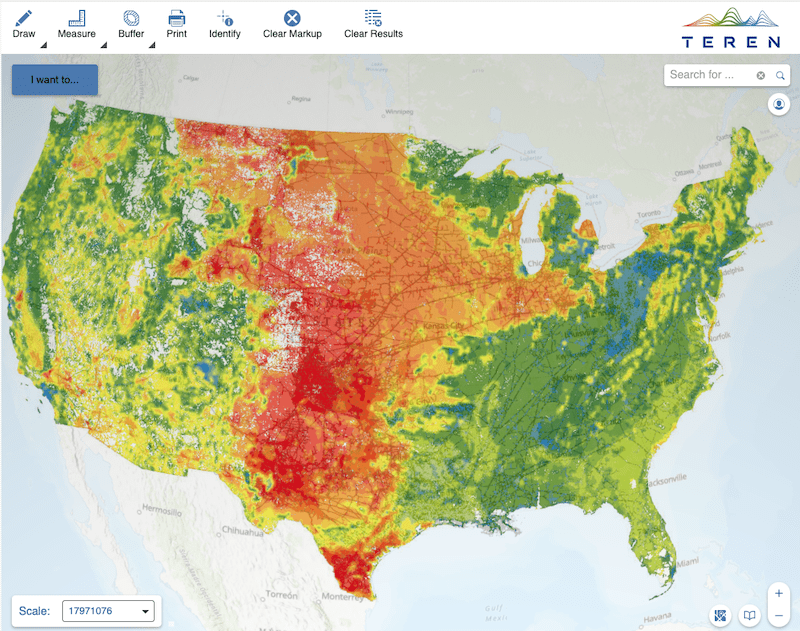
- Remote sensing is a fast and effective solution for identifying physical risk, monitoring potential threats, and building climate resilience. Through remote sensing data, companies with physical assets and infrastructure can better understand the threats at hand, make informed decisions about mitigating risk, and allocate resources proactively to avoid costly incidents and reactive repairs. This can be done far faster than traditional methods of surveying, which require teams of professionals to be physically present – often in difficult and dangerous terrain.
- Organizations can take advantage of geospatial analytics derived from remotely sensed data to pinpoint, prioritize and monitor hazards accelerated by these changes. They can also develop an effective ESG strategy through the targeted management of surface conditions to mitigate climate vulnerabilities, improve climate resilience and report back to shareholders.
Read the full article by Nibedita Mohanta of the Geospatial World or contact Teren to learn more.