Climate resilience analytics will offer actionable insights into Hermits Peak’s post-wildfire risks.
Teren, the climate resilience analytics company, today launched the Hermit’s Peak Watershed Protection Analysis to help the region mitigate immediate and long-term risks in the wake of recent wildfires.
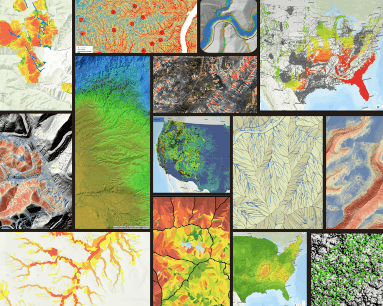
What: Given the far-reaching damage wildfires can have on human health, infrastructure, ecosystems and economic well-being, Teren addresses these problems for Hermit’s Peak. Teren’s expertise in natural resource conservation, remote sensing, geospatial modeling and high-performance computing will allow the company to analyze the entire affected area to reveal post-wildfire hazards and pinpoint priority zones for stabilization and reclamation.
The Watershed Protection Analysis project will consist of two phases and deliverables:
- Phase 1: Rapid prioritization to provide a quick analysis of publicly available burn severity, land cover, climate, precipitation, elevation and soil data to identify reclamation and response zones that need immediate attention.
- Phase 2: High-fidelity analysis and early detection using LiDAR and four-band imagery datasets to pinpoint hazards and guide precision reclamation activities within the affected area.
Where: The project will analyze the Hermit’s Peak burn area, within the Sangre de Cristo mountain range in northern New Mexico, spanning 363,000 acres. The project is in partnership with the United States Department of Agriculture’s Natural Resources Conservation Service (NRCS), Conservation Effects Assessment Project on Grazing Lands (CEAP-GL), in support of the Emergency Watershed Protection Program, funded under agreement NR193A750007C002.
“Our strategic partnership with the NRCS and USDA to map the Hermit’s Peak Fire in New Mexico is an honor, to say the least,” said Toby Kraft, CEO of Teren. “As a result of our prior work developing Climate-Enhanced Topographic Wetness Index products for the NRCS CEAP-GL, this project is an opportunity to highlight how our technology is changing the way land managers respond to climate change, protect ecosystem services, and reduce risk to human life and critical infrastructure. We are pleased to help Hermit’s Peak build long-term climate resilience.”
The project will generate data available via Teren’s 3D Web Viewer, downloadable from a secure, cloud-based sharing service and ESRI-compatible streaming services.
Teren is rapidly growing and increasing its processing and analytics capacity to continue modernizing environmental data and turning it into actionable information about sustainability, fortifying physical assets and building climate resilience. Learn more at www.teren4d.com.
Image Source: Jim Weber/The New Mexican