The Federal Register recently published the final part of PHMSA’s Gas Mega Rule, marking a significant update for pipeline operators navigating regulatory compliance. Understanding these requirements is essential to maintaining pipeline integrity and minimizing risks posed by external threats and extreme weather events. Teren’s COO Sam Acheson gives breaks down the latest installment of the Rule, and how to take action to remain compliant.
Pipeline Regulatory Compliance
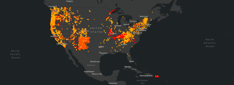
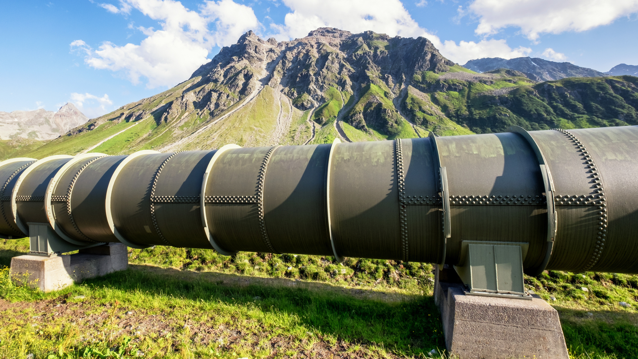
External force threats have always posed a significant risk to America’s infrastructure. River crossings, seismic zones, and subsidence from any number of causes–changes in vegetation, karst, or soil instability–have applied external loads on pipelines for decades. Acknowledging and designing for these threats have long been mentioned in codes such as ASME B31.8s. Regulatory frameworks have been developed to help operators identify, assess, and mitigate these threats through spatial data analysis, environmental science, and evolving sensor technologies.
PHMSA Gas Mega Rule

The PHMSA Gas Mega Rule, outlined in 49 CFR 92 (parts I, II, and now III) and 49 CFR 195, establishes comprehensive requirements for pipeline integrity management. These regulations are reinforced by multiple PHMSA advisory bulletins, which highlight the importance of proactive threat identification and response strategies.
Threat Identification – 49 CFR 192.917(a)
Identify and evaluate all potential threats to each covered pipeline segment.
Operators must identify and evaluate all potential threats to each covered pipeline segment. This includes monitoring environmental factors such as hydrology changes, vegetation encroachment, weather events, and soil instability. Incorporating external threat data into integrity management programs helps ensure a proactive approach to pipeline safety.
Data Gathering & Integration – 49 CFR 192.917(b)
Gather and integrate existing data and information on the entire pipeline.
Pipeline operators are required to gather and integrate data on pipeline conditions and surrounding environmental factors. This process involves:
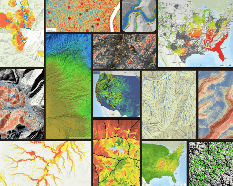
- Data Gathering: Collecting remotely-sensed data, weather reports, and commercially available datasets to build a comprehensive view of pipeline right-of-ways.
- Data Analysis: Using geospatial tools and data science methodologies to assess threats such as erosion, subsidence, and land movement.
- Data Integration: Incorporating collected data into GIS, integrity management, and risk assessment systems to track potential geohazards over time.
Extreme Weather Response – 49 CFR 92.613 and 195.414
Operators must inspect pipelines within 72 hours of extreme weather events and natural disasters.
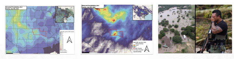
PHMSA mandates that operators inspect pipelines within 72 hours of extreme weather events and natural disasters. Compliance requires rapid mobilization of data collection and analysis to assess any potential damage and determine necessary mitigation actions.
Risk Assessment – 49 CFR 192.917(c)
Operators must conduct baseline risk assessments and prioritize areas requiring continuous monitoring. This involves evaluating historical data, current environmental conditions, and predictive modeling techniques to enhance decision-making and resource allocation.
Damage Prevention – 49 CFR 192.917(e)
Pipeline operators must assess susceptibility to third-party damage, such as construction activity near pipelines. Depth-of-cover analyses, encroachment monitoring, and proactive communication with stakeholders can help mitigate the risk of accidental strikes and unauthorized development near critical infrastructure.
Regulatory Compliance as a Best Practice
Following a systematic approach to threat identification, risk assessment, and continuous monitoring not only ensures regulatory compliance but also enhances operational efficiency and pipeline safety. Implementing data-driven strategies allows operators to better anticipate and mitigate risks, ultimately reducing costs and improving long-term asset management.
Staying informed about regulatory updates and integrating best practices into pipeline integrity programs is essential for maintaining compliance and ensuring infrastructure resilience in the face of evolving environmental challenges.
How Terevue Supports Compliance
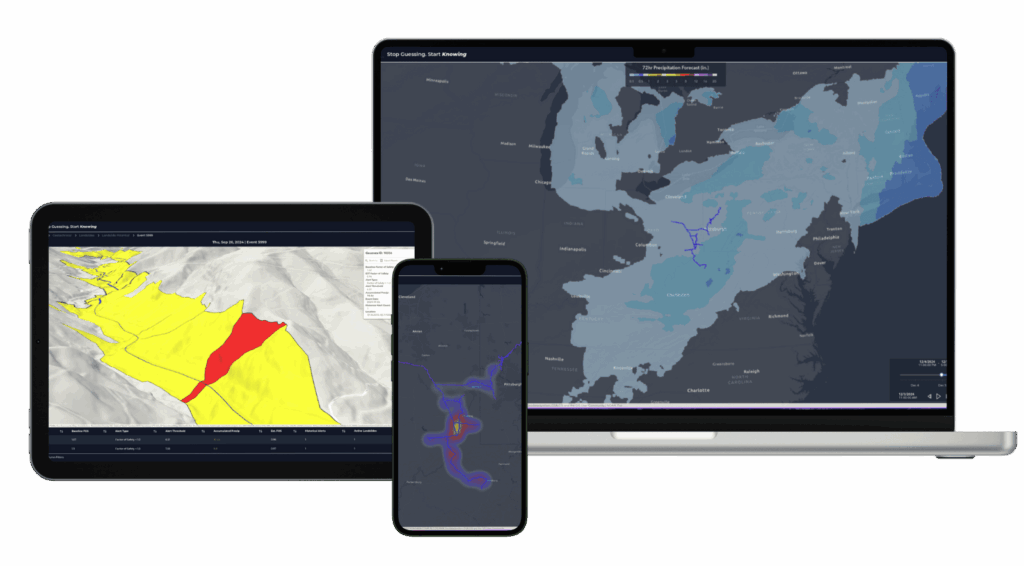
Teren’s cloud-based Terevue enables pipeline operators to quickly and systemically meet regulatory requirements. A centralized platform for integrating geographically relevant weather, environmental hazard and asset data in one location, Terevue uses intelligent alerting to identify weather events most likely to trigger earth movement threats across infrastructure systems, based on authoritative data science. Advanced threat prioritization enables pipeline operators to know which threats need to be addressed first. All this data is easily exportable and seamlessly integrated into enterprise environments, making audits and regulatory compliance effortless.
Learn more about Terevue here.
Learn more about pipeline regulations outlined in the PHMSA Advisory Bulletin on earth movement.