TEREVUE

Make the leap from risk to resilience with Teren’s analytics. With Teren, You can develop, operate, and insure land and infrastructure that can withstand whatever nature throws its way.
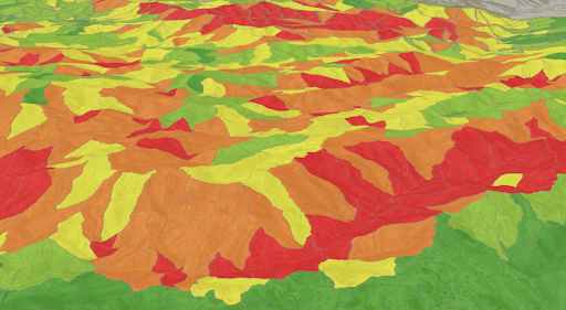
Landslide Geohazards
Identify & Prioritize Geohazards on Steep terrain
In steep and hilly terrain, geohazards and landslides manifest as the result of changes in vegetation, hydrology, and land movement. Teren proactively identifies, ranks, and monitors landslide geohazards to create effective response and mitigations plans for pipeline operators, electric transmission companies, and DOT’s.
Geohazard Identification

Problematic Hillslope


Geohazard Prioritization


Change Detection


Case Study: Save Millions in Lost Revenue
Teren data and analytics identify, prioritize and monitor geohazards to reduce repair budgets and avoid shut-ins.
Case Study: Predicting Landslide Disaster
Teren data and analytics can predict potential disasters based on ground movement, hydrology, and vegetation.
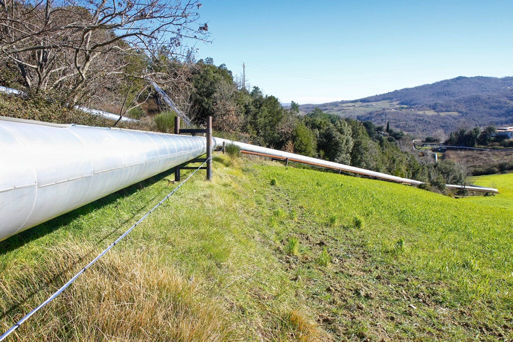
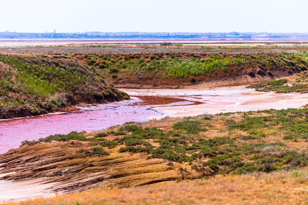
Erosive Geohazards
Erosion leads to unknown geohazards
In topographically flat regions, geohazards manifest where hydrologic, agriculture, and wind forces erode the landscape and threaten asset integrity. Teren’s approach to inspection using fixed-wing LiDAR allows us to identify hazards not visible to the human eye. We help pipeline operators, land management organizations, renewable developers, and engineering firms identify issues before they become incidents.
Cutbank


Rilling & Gullying


Headcut


Exposed Assets

Case Study: Enhancing Pipeline Inspection with Remotely-Sensed Data
Even on the plains of middle America, external forces threaten the integrity of transmission pipelines.
Case Study: Addressing Operational Issues with High-Fidelity Data
Teren’s data helped a renewable developer uncover the root cause of frequent ponding under solar arrays.
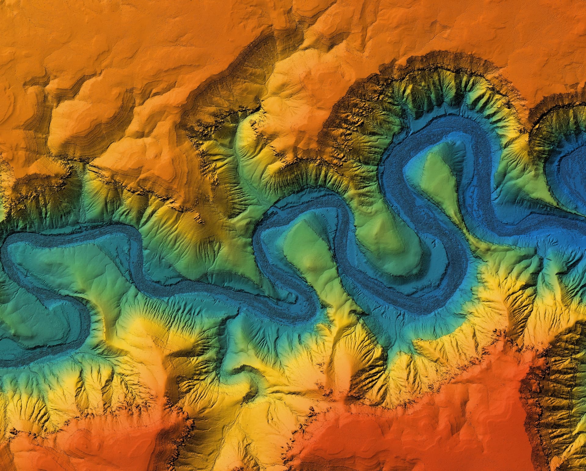
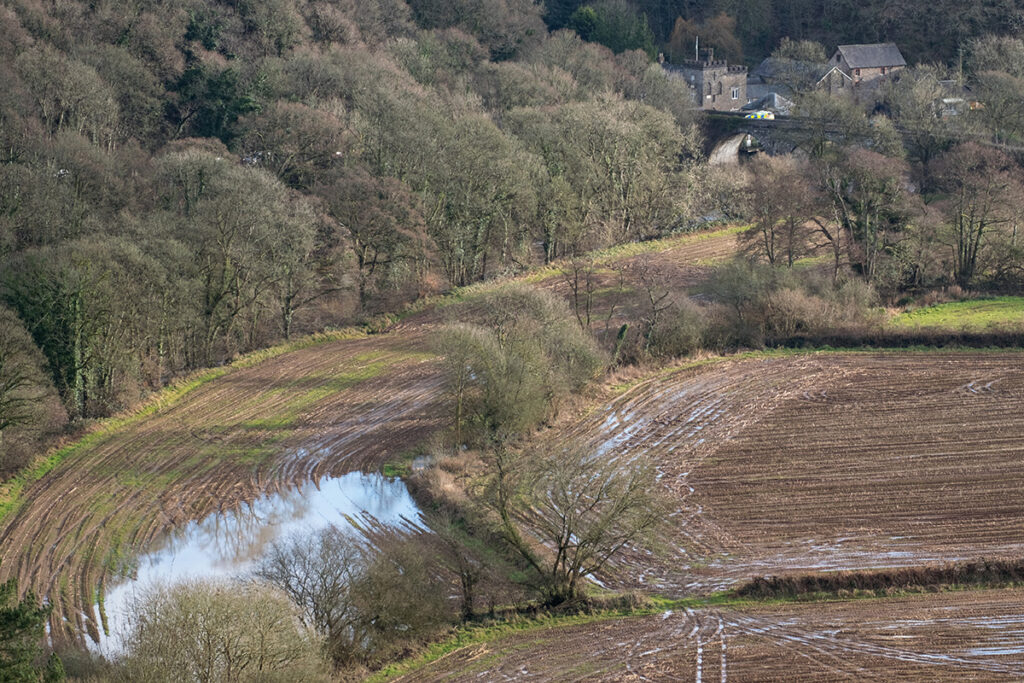
Debris Flows & Hydrology
Water Can Change Terrain Surrounding Assets
Flooding and powerful hydrologic forces can cause unpredictable erosion and direct damage to assets and property. Teren data and analytics uncover problematic flow paths and can be used to model debris flow, ponding or inundation scenarios. Whether we’re monitoring precipitation in a right-of-way for potential asset damage or evaluating watershed surrounding a neighborhood post-fire, Teren hydrology analytics improve resilience.
Surface Hydrology

Problematic Flow

Inundation


Debris Flows


Case Study: Hermits Peak Watershed Program
The USDA’s Natural Resource Conservation Service partnered with Teren to complete a rapid assessment of debris flow in the burn area.

Case Study: Hydrologic Modeling for Wetland Restoration
Teren’s high-fidelity data and modeling improved the wetland restoration process for mitigation compensatory bank permitting.
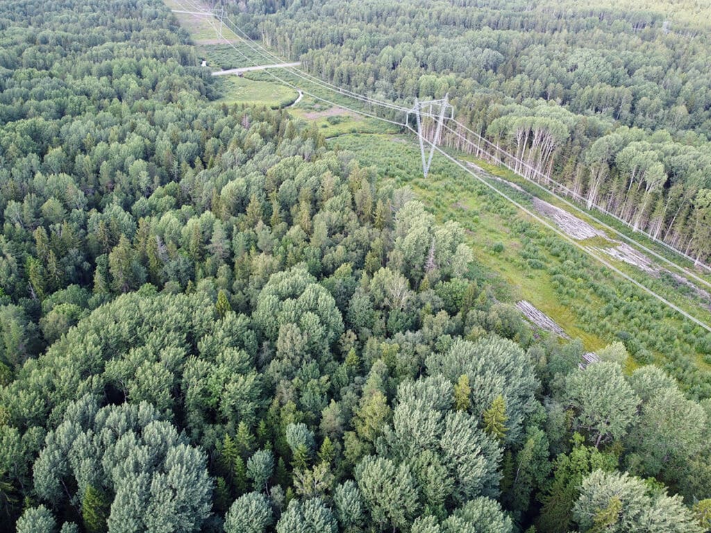
Vegetation Overgrowth
Evaluate Vegetation Impact on Assets
Vegetation encroachment and perimeter shading can impact asset integrity, regulatory compliance, or operational performance. Teren’s LiDAR data and automated feature classification helps electric transmission companies, renewable developers, and insurers better understand the vegetation surrounding their assets.
Encroachment

Tree Shading


Clearing


Vegetation Units


Case Study: More than Vegetation Management
How one pipeline operator is leveraging LiDAR to manage vegetaion and protect endangered species.

Use Case: Fuels Management for Wildfire Risk Reduction
Pinpoint wildfire threat and take targeted action to reduce exposure and measure changing risk over time.
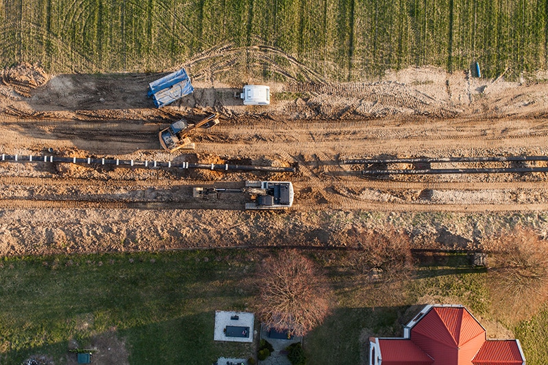
Survey-Grade Engineering
Critical Topography Data in Record Time
Teren’s streamlined acquisition service delivers high-fidelity, high-accuracy data faster than anyone to support survey and engineering teams during pre-construction. Our high-quality DTM, DSM and contours allow you to better estimate construction costs and material needs — and our speed keeps you on schedule.
Cut/Fill Estimates


Digital Surface Model

Digital Terrain Model


Stormwater


Wildfire Analytics
Wildfire Intelligence: Before, During & After
From pre-burn risk assessment through post-burn reclamation, Teren’s wildfire analytics provide critical insights into ground fuels, soil conditions, and hydrology hazards to mitigate wildfire risk as well as evaluate post-burn conditions to assess damage and prevent further loss.
Sediment Impact


Burn Severity


Reclamation Priority


Watershed